Jack_Walkaholic in South Pembrokeshire
Part 1
While Carmarthenshire boasts the flattest part of the Wales Coast Path, Pembrokeshire is happy to be the hilliest and the most beautiful. When I look at the map of Wales, I don’t realise how big Pembrokeshire is; it’s the same distance around as from Chepstow to Kidwelly. You can see the story so far on previous posts on Resolven District News, or if you want to see the whole story you can find me on Instagram @jack_walkaholic.

I start at Amroth and walk the 300 km round to St Dogmaels, Cardigan. There are 35,000 feet of elevation to climb during this section, which is about 10 times the height of Snowdon, so I’d better get started.
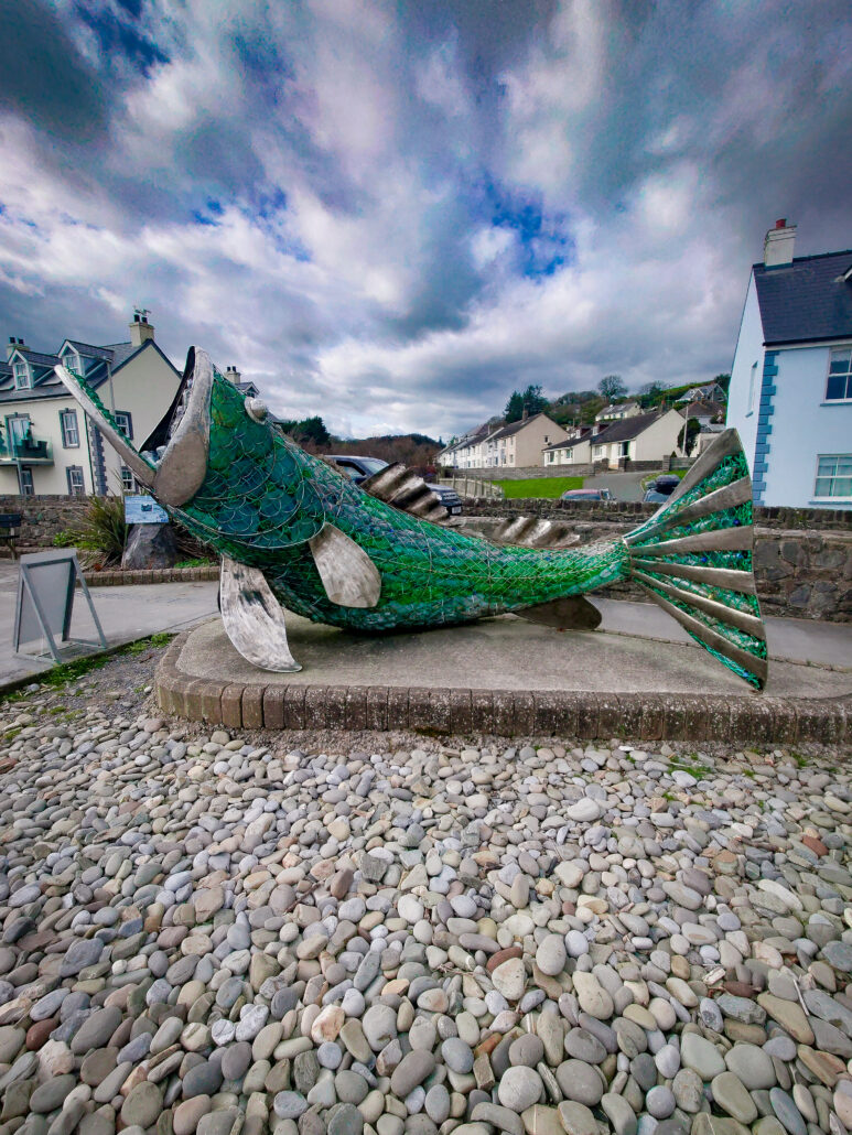
Entering Amroth, it’s a late sunny Sunday afternoon. There are people everywhere. I walk down the main road, dodging the tourists, and back to the safety of the coast, the other end of the village. Up some pretty steep steps and onto a tarmac path. If the whole of Pembrokeshire is like this, I’ll be done in no time. Down into Wisemans Bridge where I finish for the day.
~
Illness meant I lost a few weeks of walking, but I returned to the path a few weeks later. From Wisemans Bridge, there is a tunnel system that goes through to Saundersfoot. Saundersfoot in the early morning is a calm and peaceful place to be. Up the road past the St Brides Hotel, down a lane and into the woods.
It had been raining for weeks and the path through the woods was nothing more than a mud bath. Climbing a slope of mud isn’t the easiest thing to do, taking a step and sliding back a little, every step you take adds more mud to your boot and weight. Along the path, this would be a lovely section if it was dry.
Through a field, over the brow of a hill and as if by magic through the mist is the iconic view of Tenby Harbour. There are a few miles to go before I get there, but the sight of this familiar landscape makes the miles melt away.
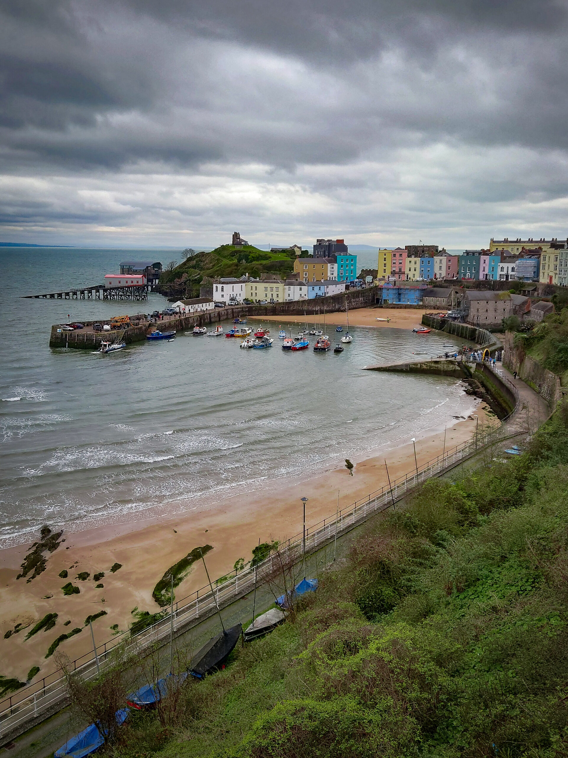
The Coast Path skips around the edge of the town, it misses the Castle, the Tudor Merchants House, the ice cream parlour and it only overlooks the North Beach.
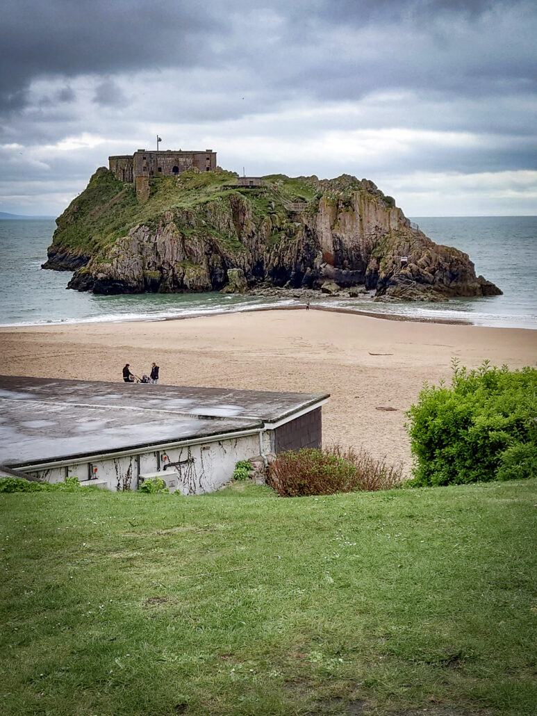
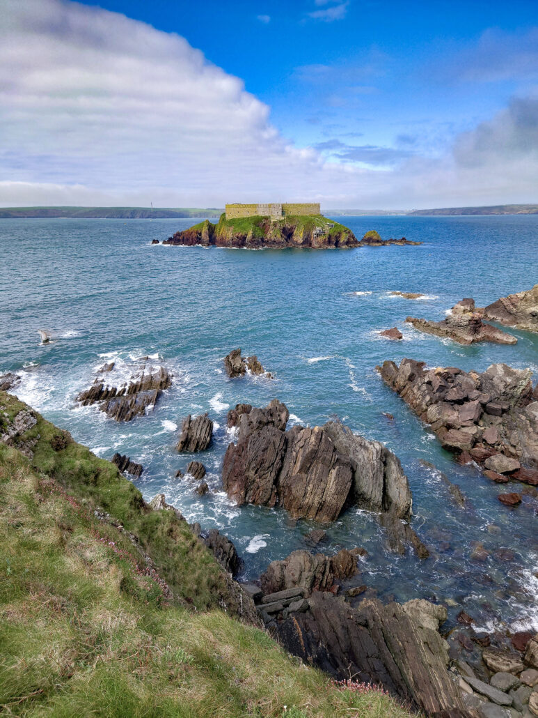
At the end of the Promenade, the path takes the route onto the South Beach and I have a mile walk to Giltar Point, another great view of Tenby and Caldey Island.
The rain and hail start battering me, I’d hoped to be further along before it started, there was lightning forecast and I didn’t want to be on a cliff when that started.
Along to Lydstep, a Haven Resort with a gentle sheltered bay. Up onto Lydstep Point, still no lightning, a walk to one of my favourite places, Church Doors Cove. There’s a steep set of steps down and back up to the path and it’s not part of the route, but since I’m here it would be rude not to go down. The next beach is Shrinkle Haven, a beach with limited access, as the path down to it has been eroded. Around the military base and there’s a small but perfectly formed beach called Presipe. This is a beach the locals use as it’s not as well known as the others in the area. Around the coast I go past a burial chamber called Kings Quoit and onto Manobier beach, a great bucket and spade beach.
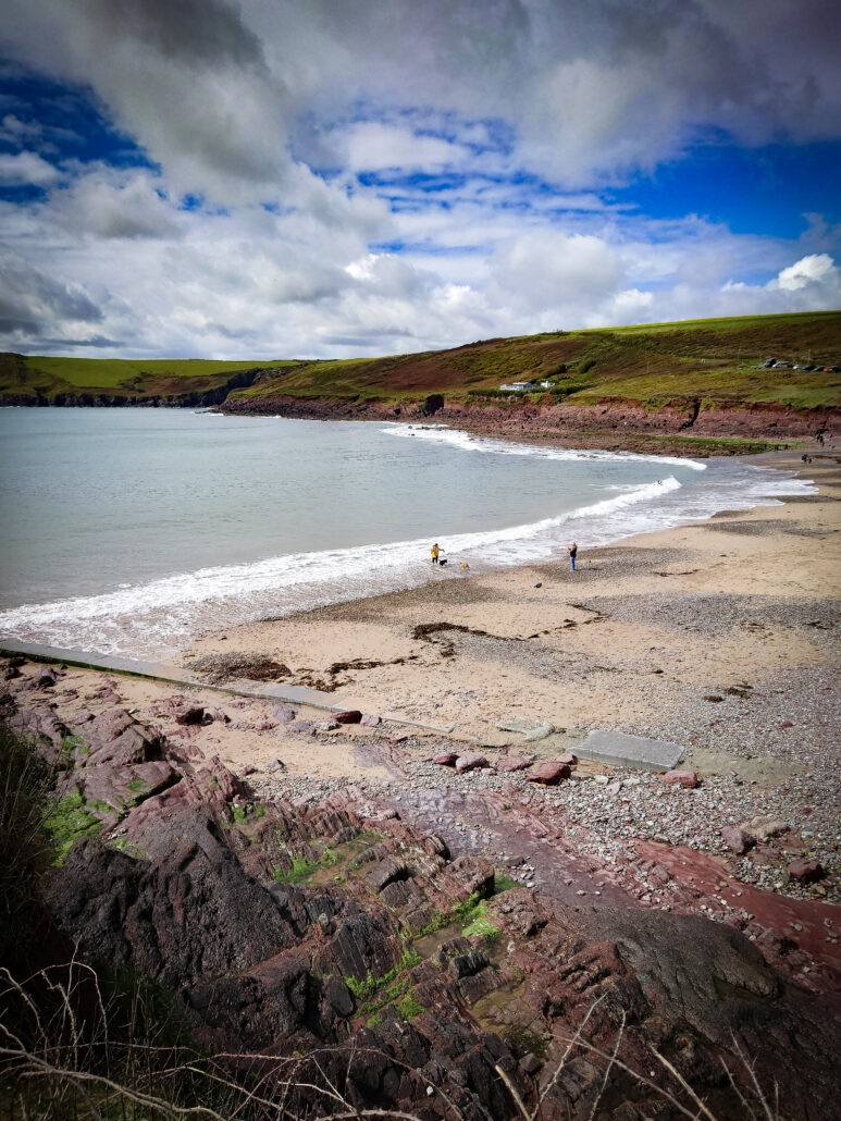
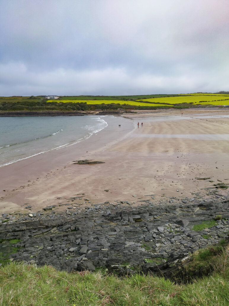
Moving along, the next beach is Swanlake Bay, there’s no easy access to this beach other than the Coast Path, so I have the place to myself and try to dry off from the earlier rain. While looking at the map beforehand, the name intrigued me, this was one of the beaches I was most looking forward to.
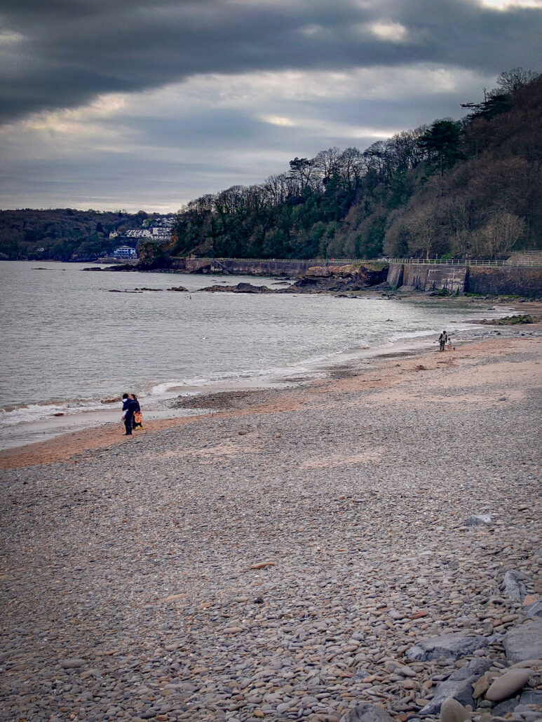
Slightly dryer, I make my way to Freshwater East, the day’s final destination, a tiny village with a beautiful big beach. It’s slightly off the beaten track, and good parking facilities make this a great location for a day trip.
The next day is from Freshwater East to Freshwater West. Leaving Freshwater East, there’s a set of steps that take you up to a nice viewpoint.
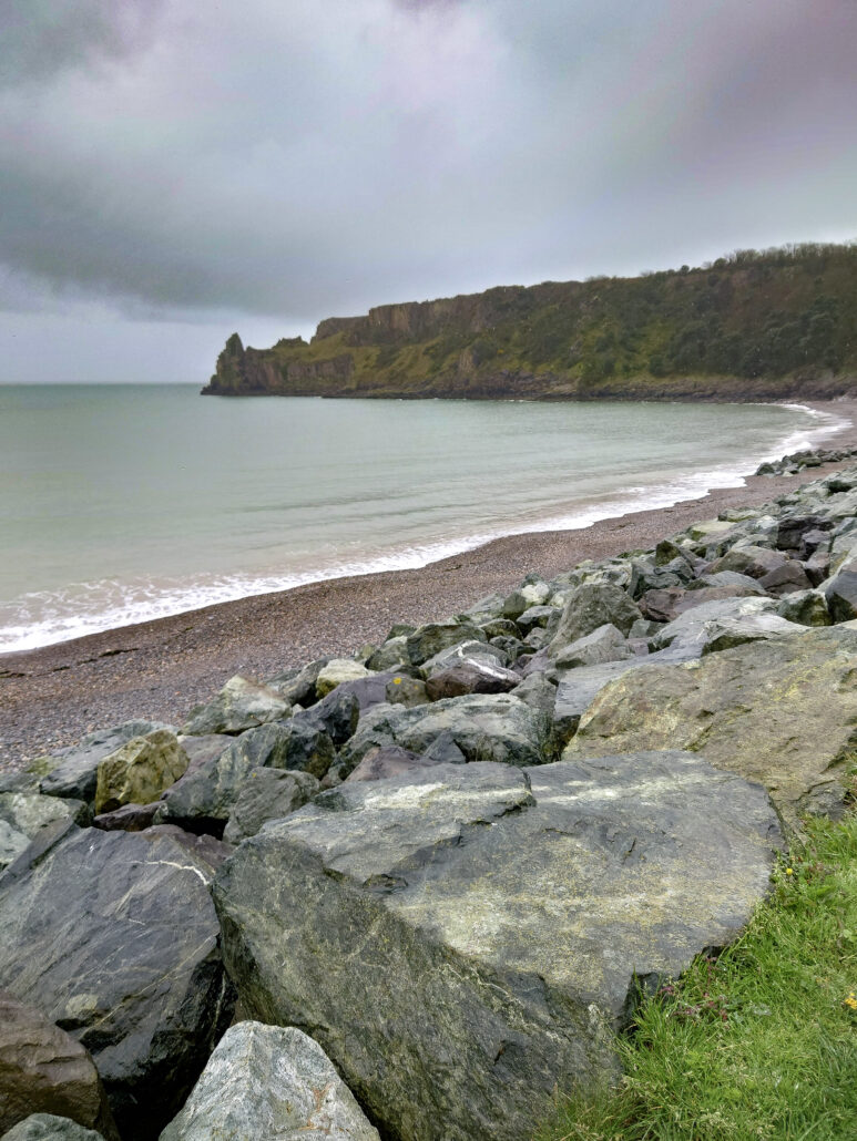
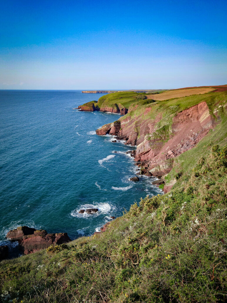
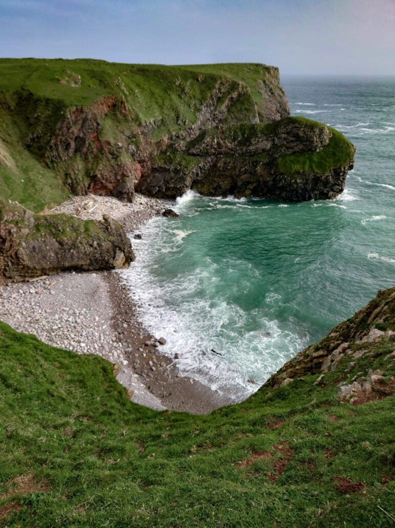
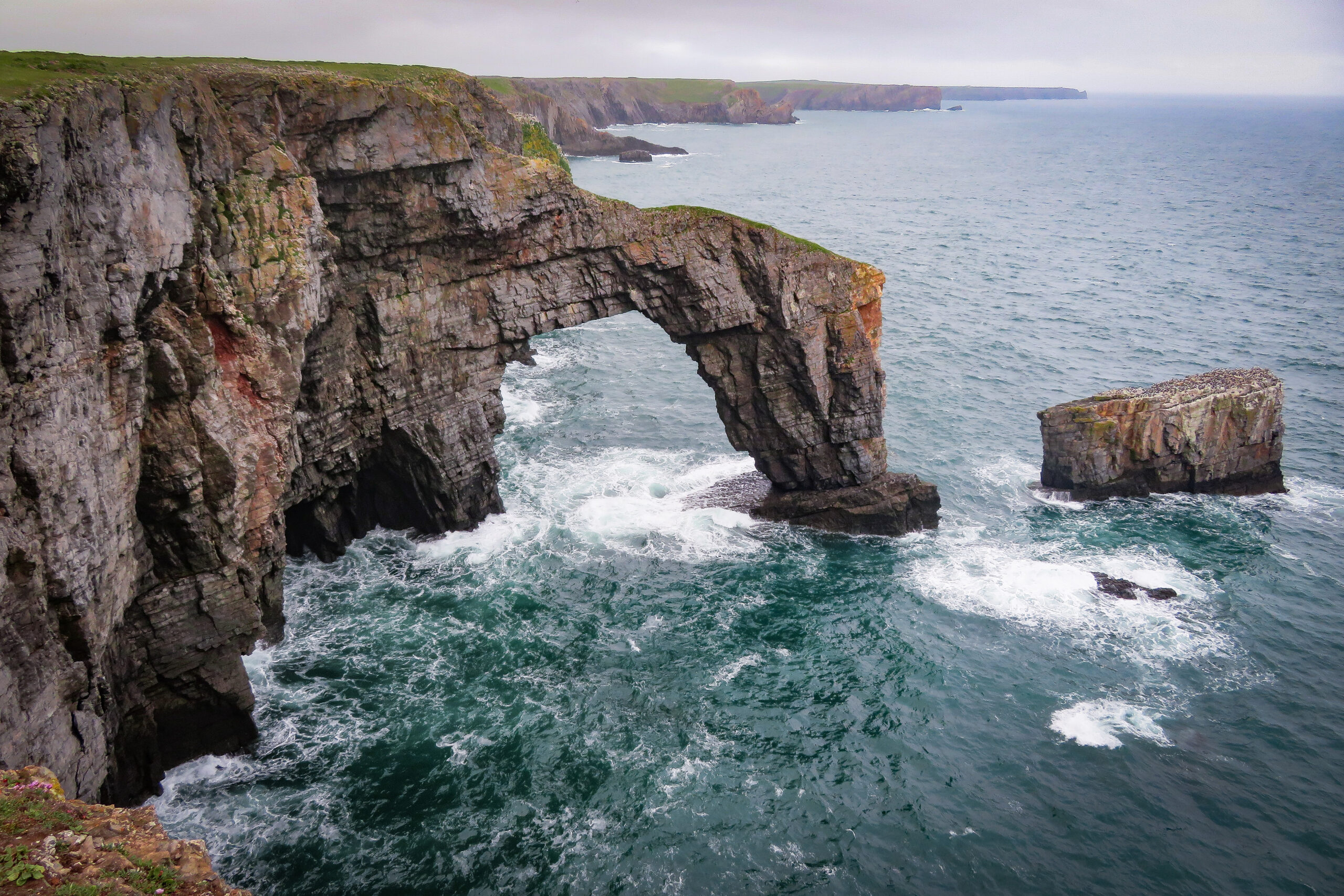
The path gently rises and falls from here and stays very close to the cliff edge at times. Pembrokeshire Coast isn’t a National Park because of its beauty, it’s a national park because of the geological formations that run through it. The main colour in the rock faces at the moment is red, but you can see some banding that has been layered through the ages.
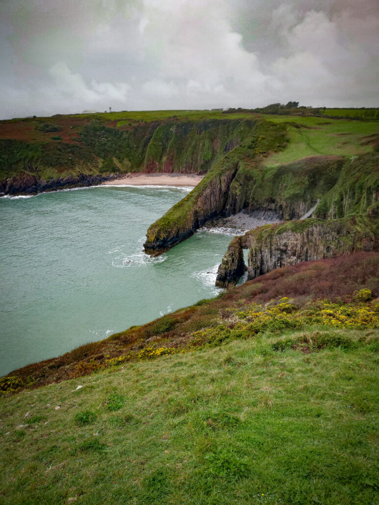
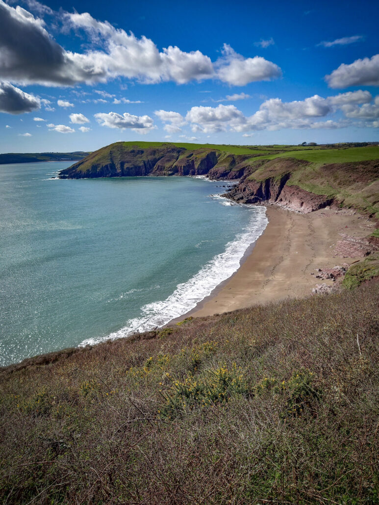
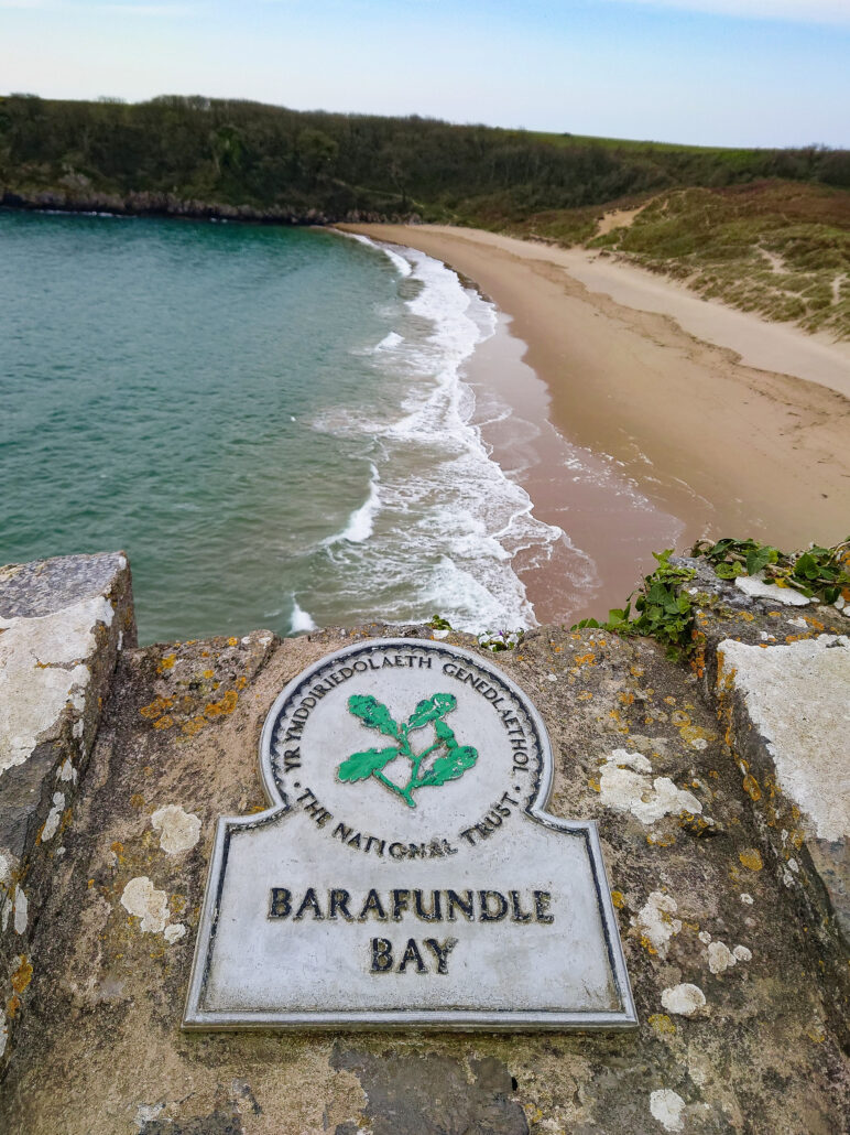
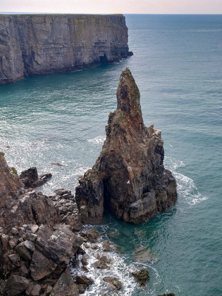
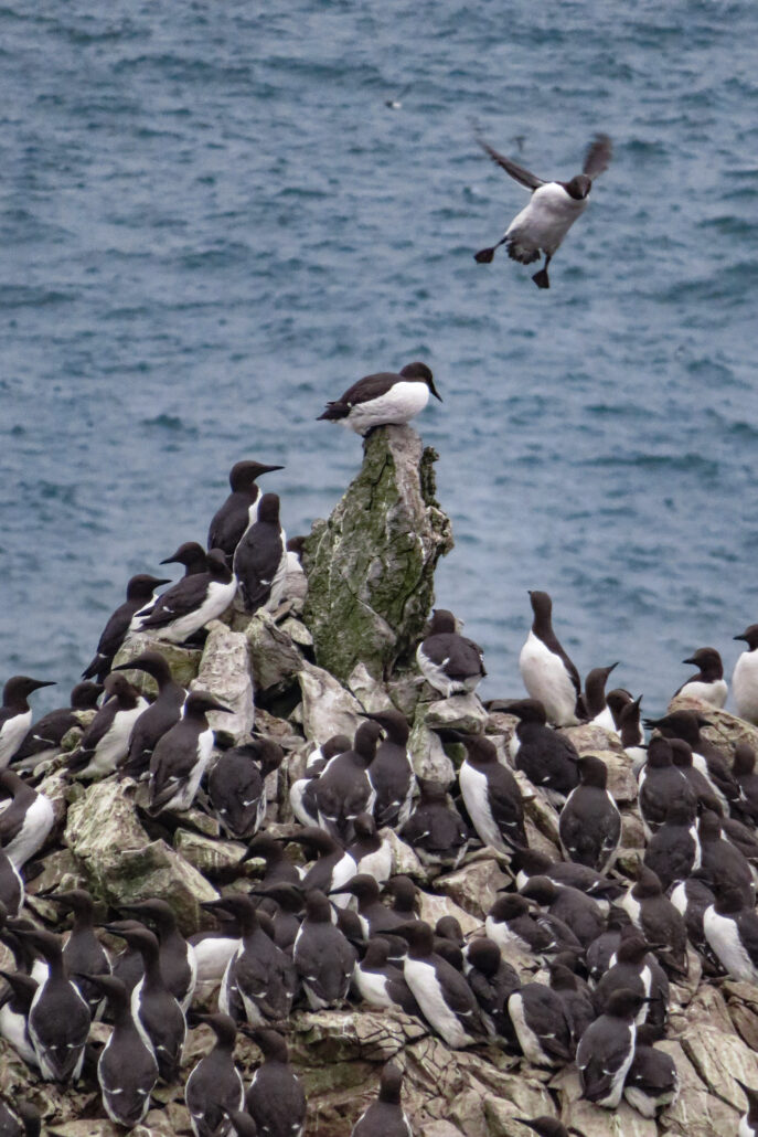
Stackpole Quay is the next place of interest. There is a geological fault here that can be seen by the quay side. Up some steps and over a field, I come to Barafundale Bay, this is one of the most beautiful beaches in Wales and has been used in films. I have the beach to myself, the tide crashes, its clear green-blue water, no other footprints. Just me, the sand, the sea and grey morning sky, highlights of gold where the sun lights the edge of the clouds. I leave, dragging myself along the path, up to a headland, the wind blowing my cobwebs away, some seagulls squawk as I look down at them flying below me.
Broad Haven appears, and time for a detour. Bosherston Lakes are here and it’s rude not to have a quick look round whilst I’m here. There are wild birds that will feed from your hand and an otter family, but usually that’s an early morning trip as I see neither this time.
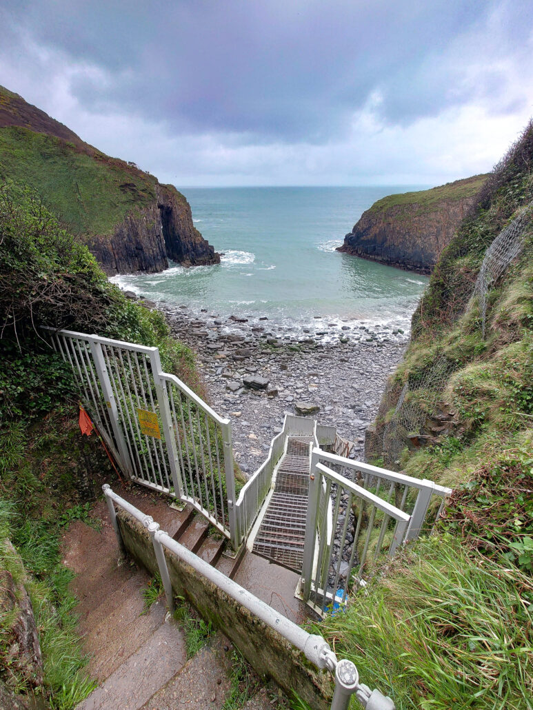
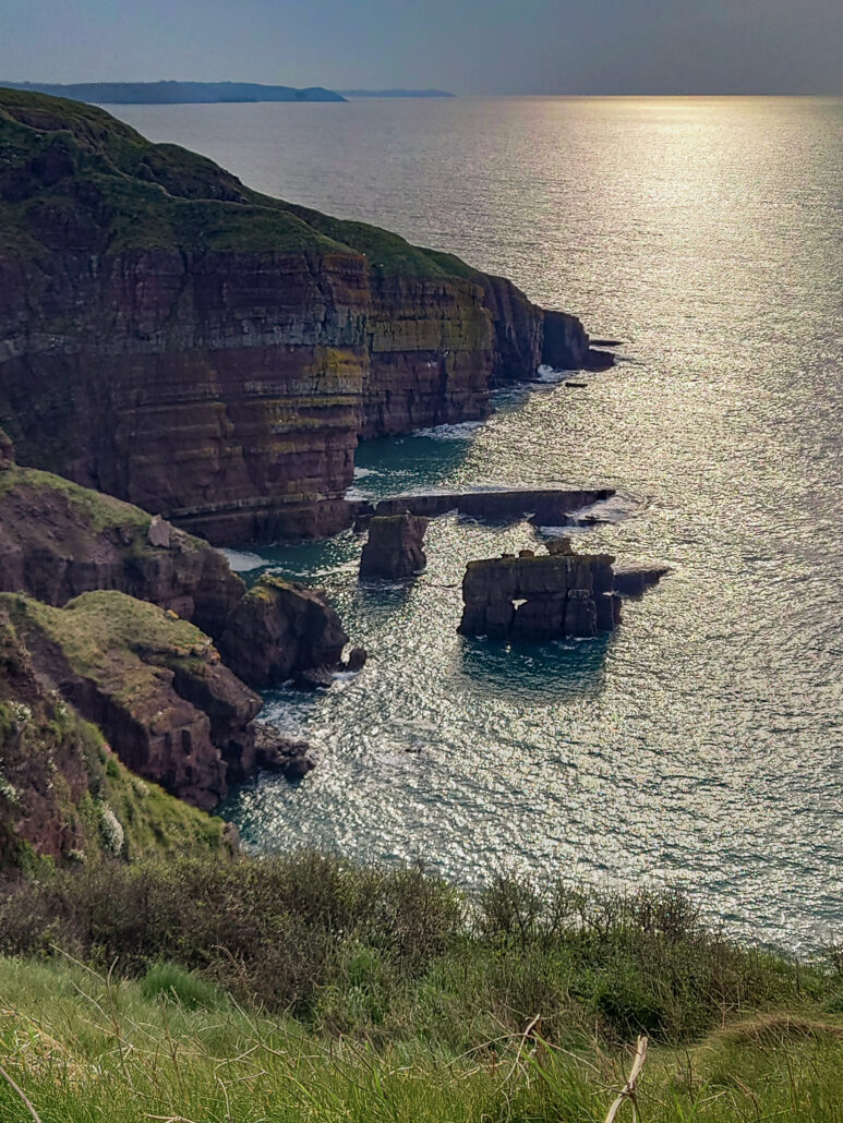
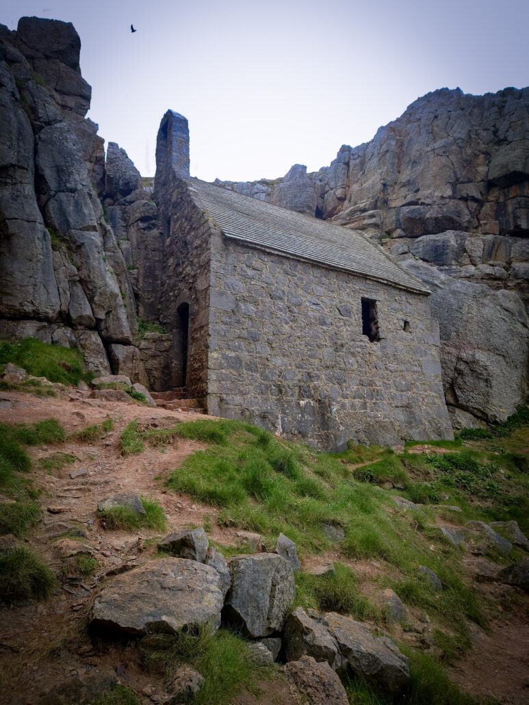
This is where it starts getting tricky, the Coast Path crosses into Castlemartin MOD firing range. Sections are closed off and you have to plan which way you go depending on what’s open on the day you go. Add to it a very poor public transport area, this becomes a source of misery for weeks to a coast path walker. The good news is, I could walk the first section to St Goven’s Chapel, a tiny chapel built into the cliff. The legend here is that if you count the steps down, you’ll never count the same number going back up…. and I didn’t. From here the MOD has closed the range so I have to take an inland route. It goes along the road for a while and into Bosherston, across some fields and alongside the MOD site. Gunfire and all sorts of noise, loud booms and engines growl, the sheep and cows seem unfazed by it all. The worst part of doing this route is, I know what I’m missing on the other Coast Path, Huntsmans Leap, Stack Rocks and the Green Bridge of Wales are all in the 3 mile stretch. Considered to be one of the highlights of the walk, and there’s an army between me and it….. The army wins.
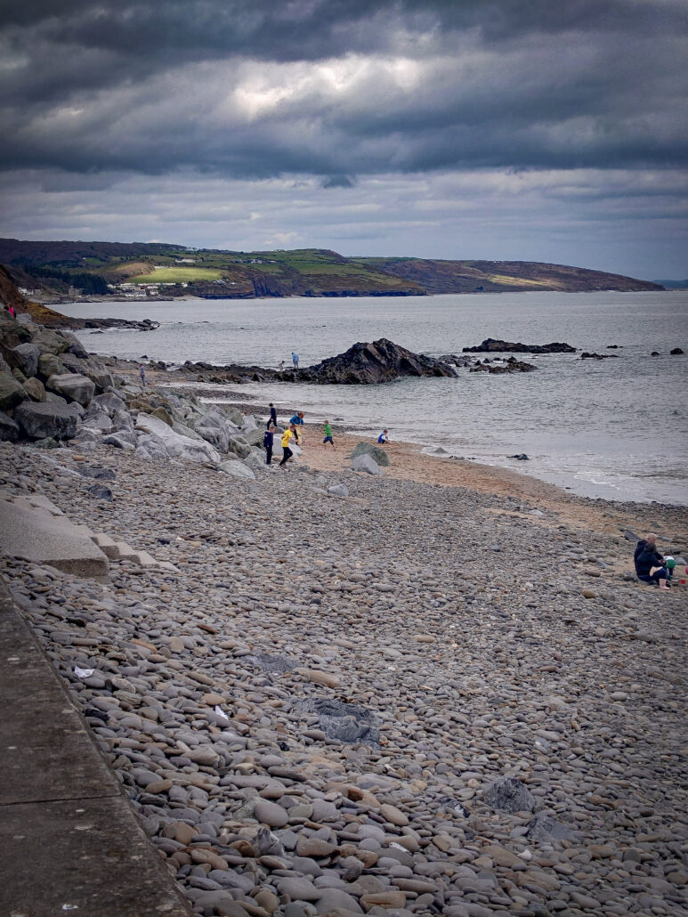
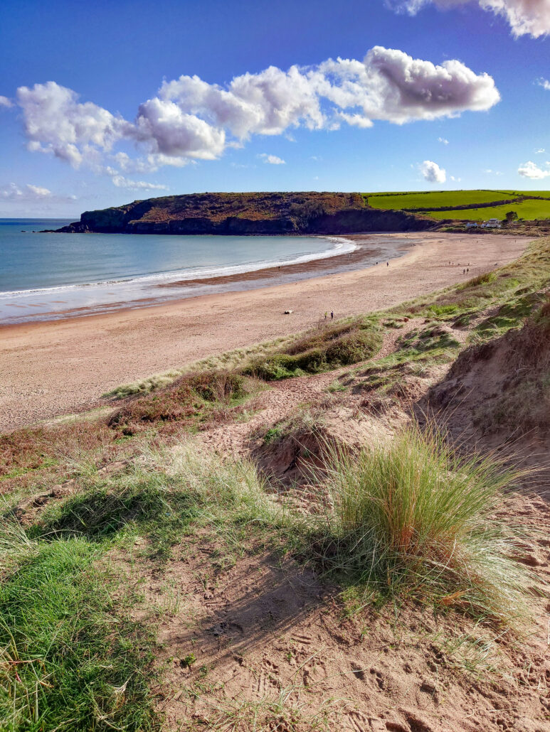
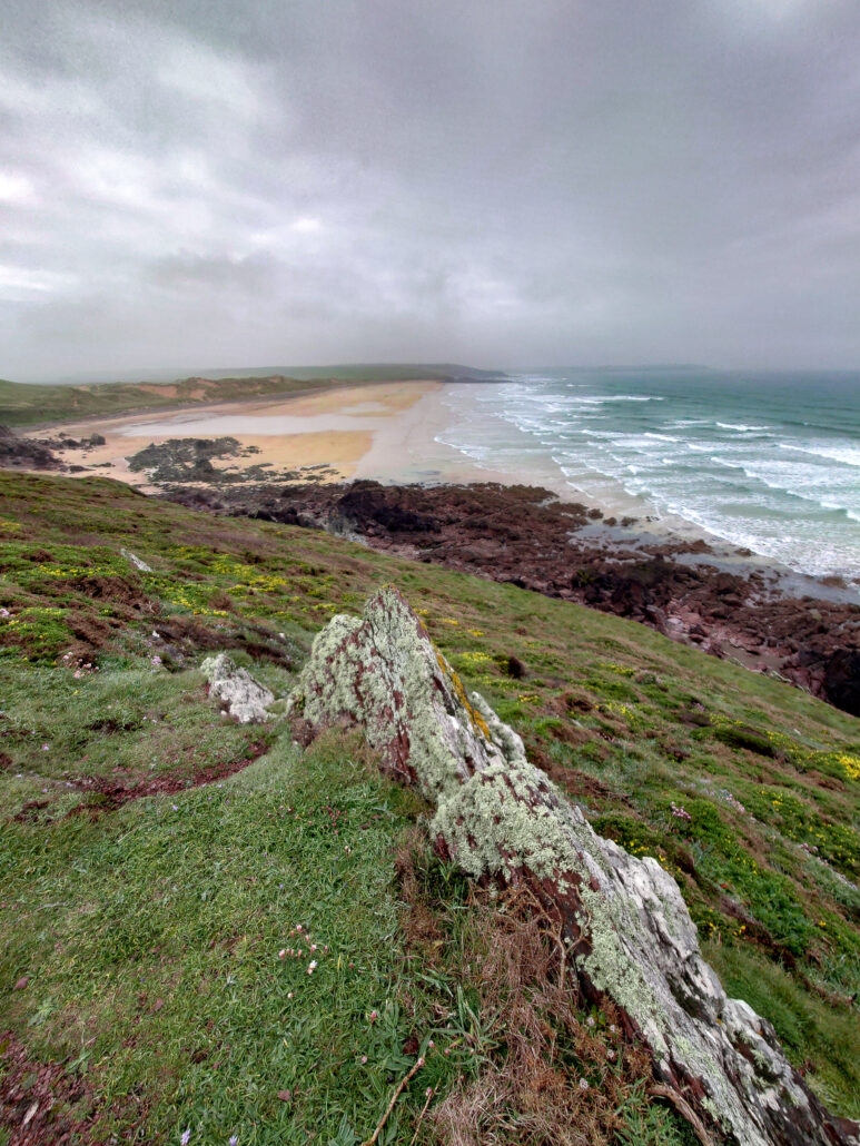
There’s a viewpoint before Castlemartin, you can watch what’s going on, take some binoculars and ear plugs as you’ll need them. On to Castlemartin and my goal for the day, Freshwater West. I remember this beach having quicksand signs on it when I was young, now it’s a beautiful big wave beach that’s popular with surfers.

Another day, a thin layer of mist hugs the coast, Freshwater West is a lot longer than I thought, I enjoy watching the dog walkers throw balls for their dogs to chase.
The only sound is the sea, the salty spray refreshing my face as I walk along. Up again, onto a cliff, this is the most remote part I’ve been so far, it’s also one of the nicest parts, I skip along and end up in West Angle Bay before I know it. This is the start of the Milford Haven Waterway, a large natural harbour, formed by a drowned valley from the last ice age.
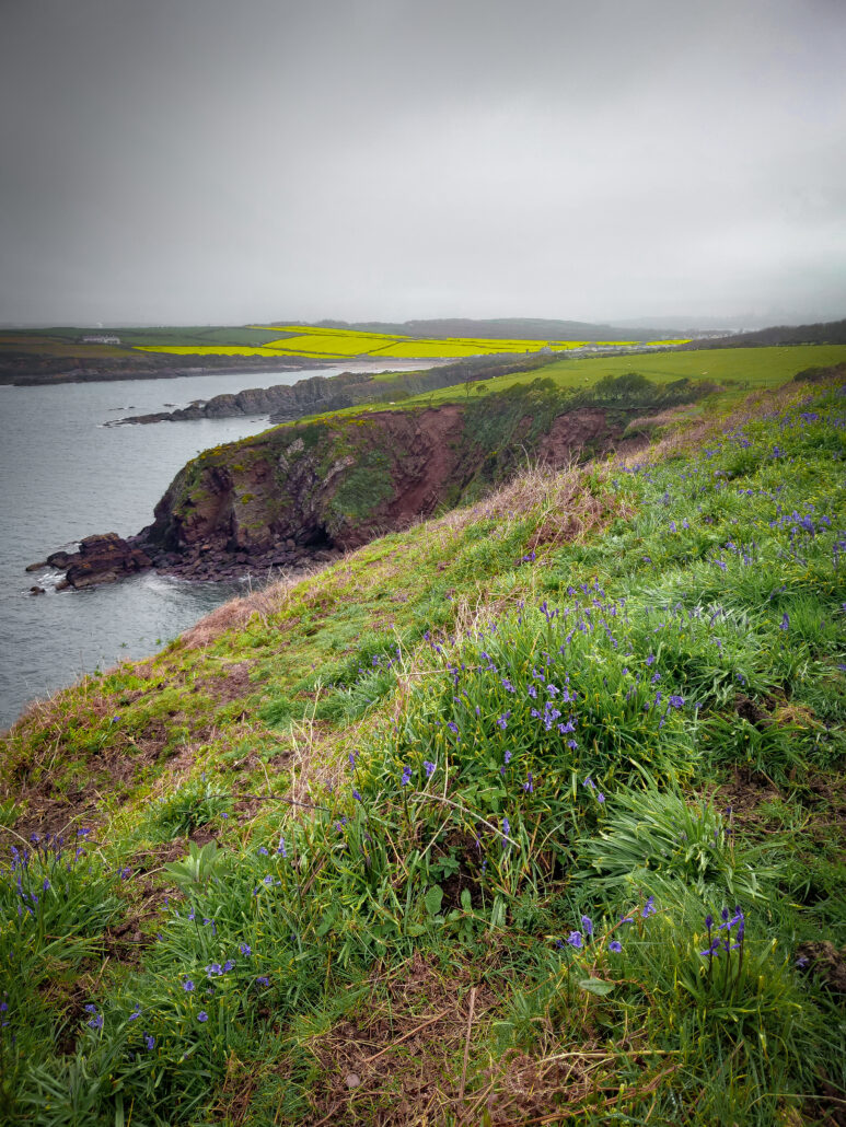
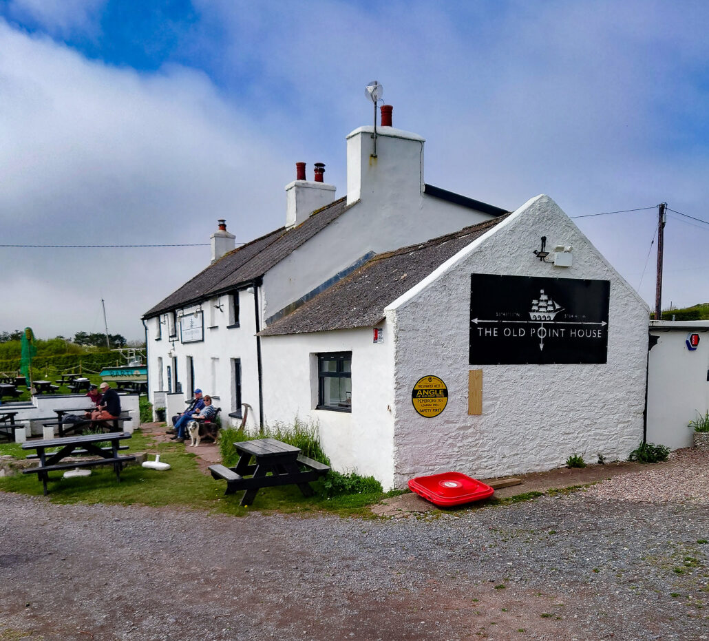
Around to Angle Bay, there’s a lifeboat station, a pub and a tarmac path that goes all the way to the oil refinery. After being out in the sticks for so long, it seems strange to be in such an industrial environment, jetties dominate the Waterway and big chimneys protrude into the sky. However, there’s a lot of green space around, with thick lichen on the trees.
Next to the oil refinery is a power plant, surrounded by green areas. A short walk on a country lane leads to a farmer’s field. How do you feel about cows? My first day on this walk, I almost gave up because of a muddy field and about 20 cows. This time, there are about 50 of them, dairy cows with full udders, bumping against each other, climbing over each other, and blocking the gate. I try to shout and moooove (sorry for the pun) them away, but they don’t budge. My only choice is to return to the road and take a detour. I walk back through the field and I don’t realise there are more cows and a bull in this field. They see me and come running towards me. I look for somewhere to run to, but the mud is too deep and there is nowhere but the gate I came through earlier. I don’t like the look of the bull, but luckily a cow stays between him and me. He pushes her towards me, but she pushes back. Soon I’m at the gate and safe. I backtrack and walk on the road into Pembroke, relieved to be in one piece. That’s where I end my day.
~ ~
End of Part 1 – ‘Jack_Walkaholic in South Pembrokeshire‘
To be continued in Part 2 of ‘Jack_Walkaholic in South Pembrokeshire’ soon
~ ~ ~ ~