Carmarthenshire, the Wales Coast Path by Jack_Walkaholic
It’s been a while, the Wales Coast Path has been keeping me busy. I started this journey on January 1st at Chepstow with the intention of walking the whole path by the end of the year. Earlier updates can be found on Resolven District News, or you can find me on Instagram @jack_walkaholic but for now on with the journey.
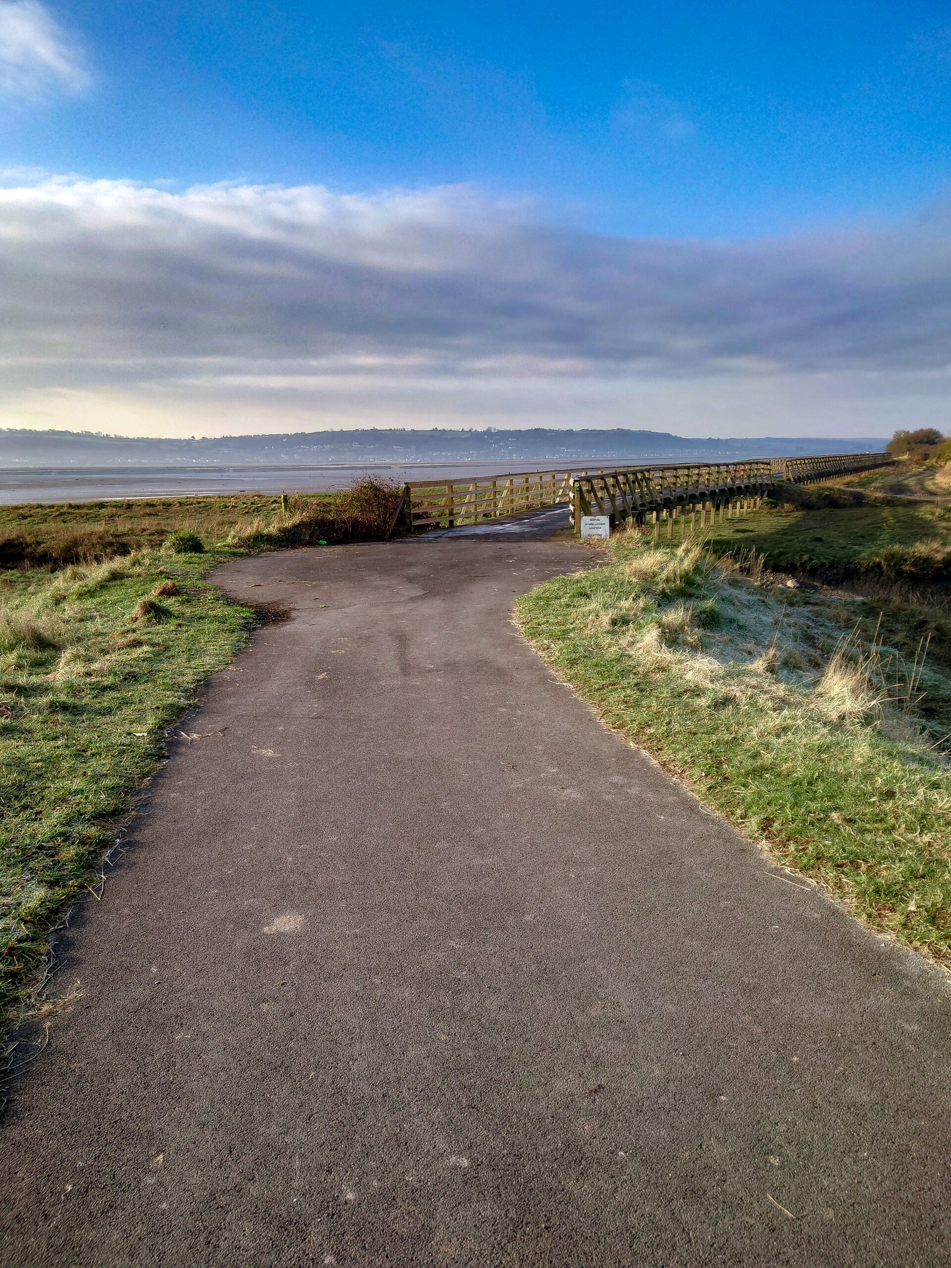
Carmarthenshire boasts the flattest county on the coast path and it starts off really well. From Bynea around the Wetland Centre, skirting Machynys Golf Course, through North Dock and onto the Millennium Coast Path. These are the days that the miles rack up, a good path, flat and no cows chasing me.
The path curves around Pwll, Burry Port and into Pembrey Country Park. This park has a lot going on, even on a damp miserable afternoon in March, people come to enjoy its activities.
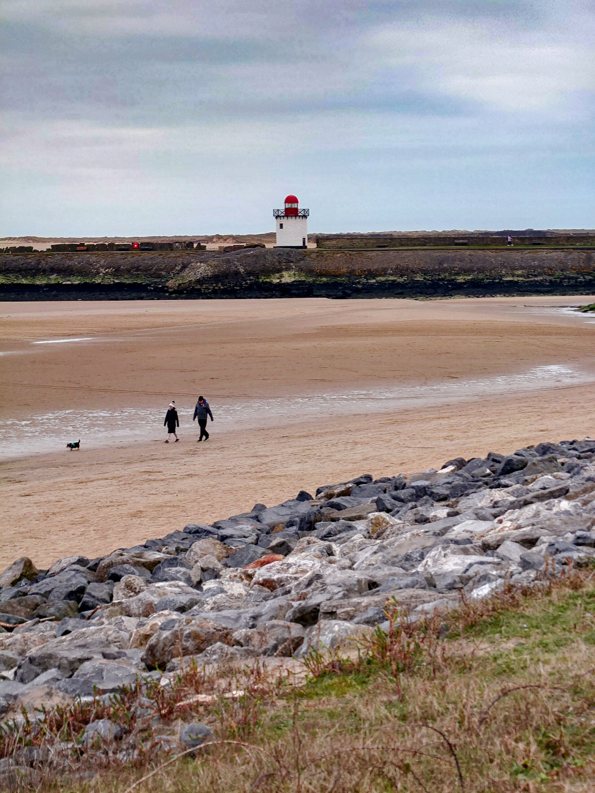
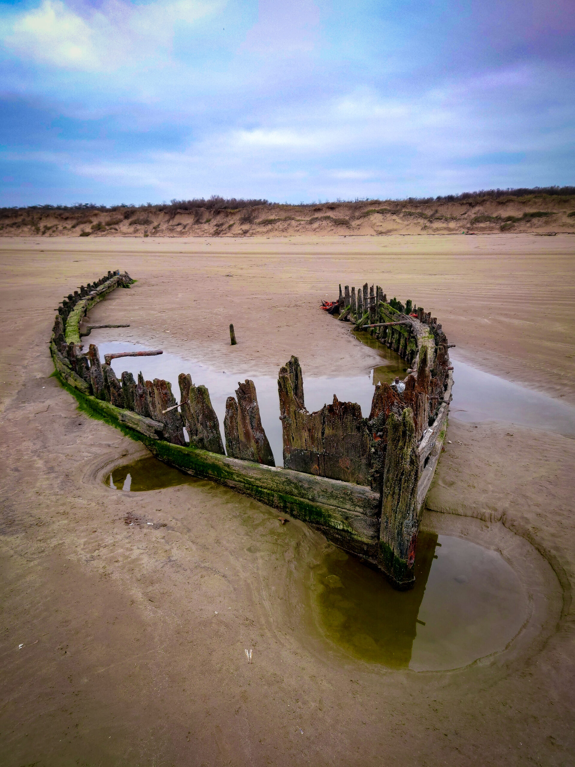
For me the highlight is Cefn Sidan beach, a length of 7 miles, the longest beach in Wales and has many shipwrecks along its shore. The largest of which is called the ‘Paul’, shipwrecked about 120 years ago, 70 metres long.

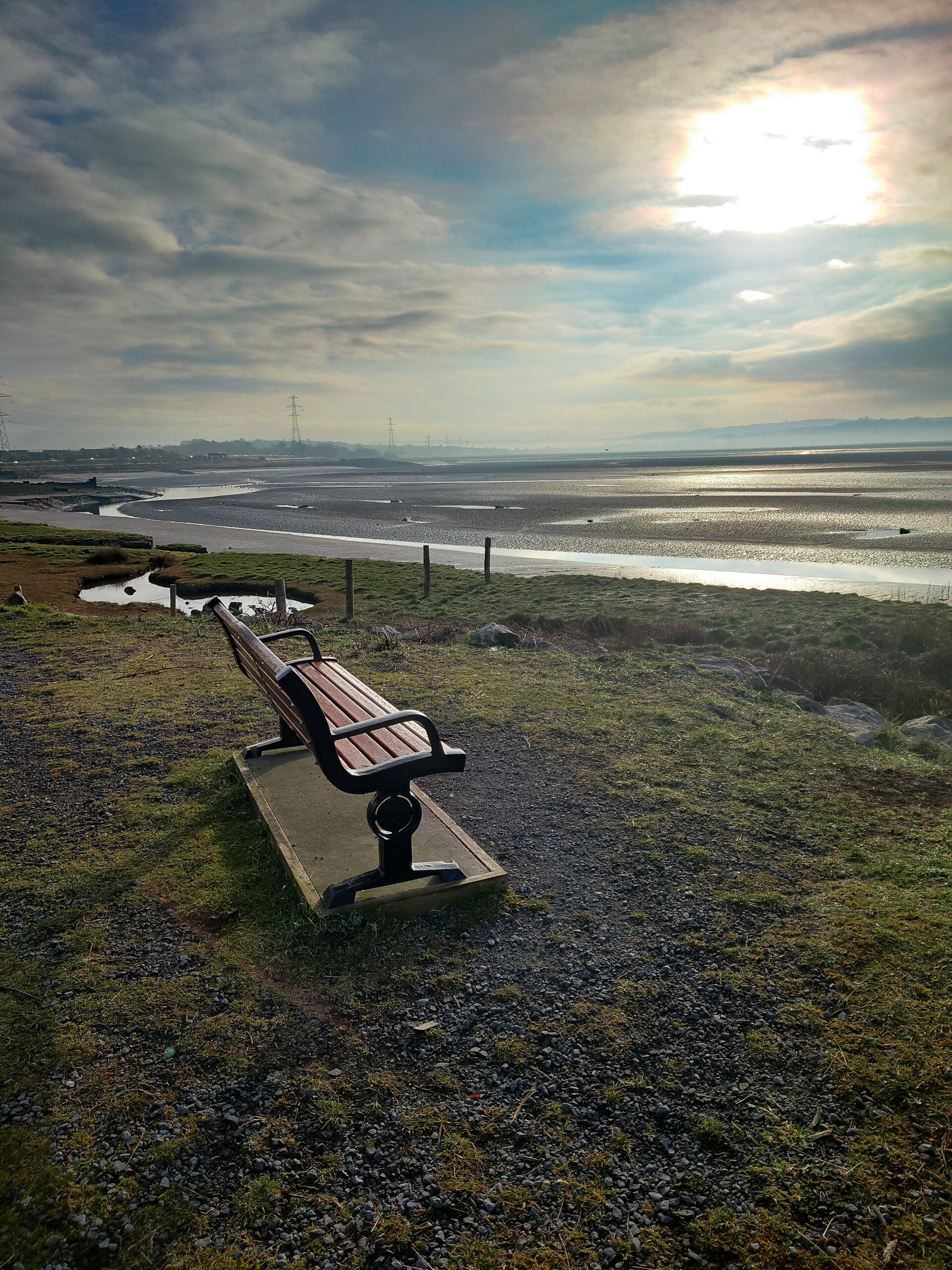
The Path makes its way around the airport, along the banks of the River Gwendraeth Fawr, along a Canal and eventually to Kidwelly Quay. This is where I stop for the day.
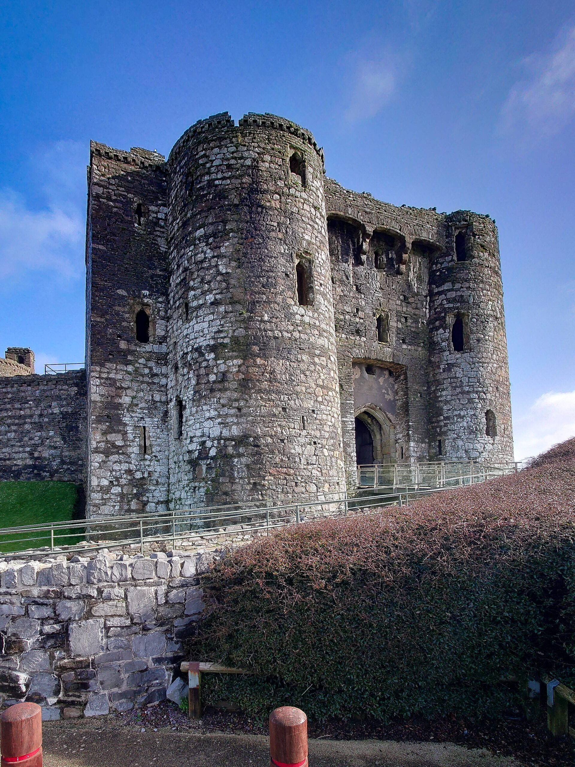
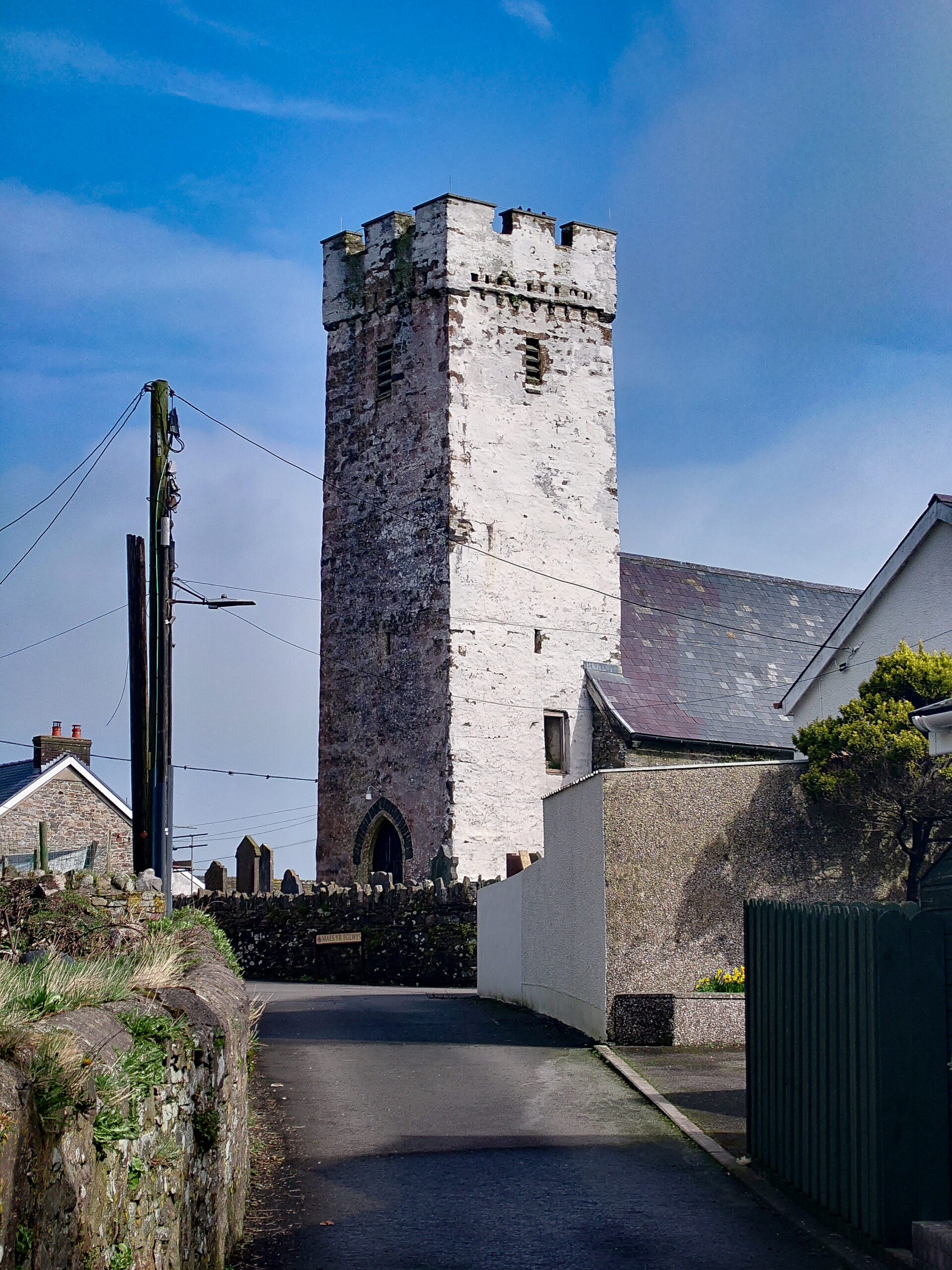
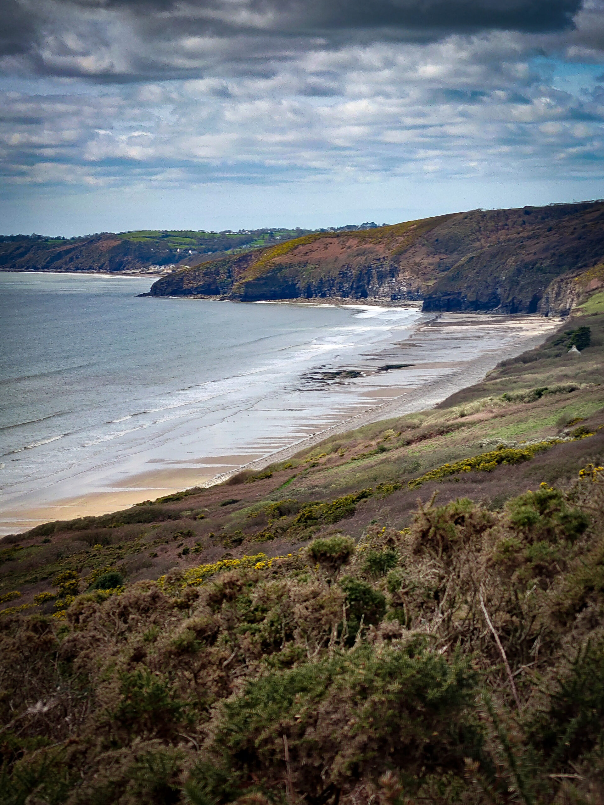
For some reason the Wales Coast Path doesn’t pass Kidwelly Castle, but I think it would be rude not to take the small detour to see the finest example of a remaining castle in South Wales. From Kidwelly, the path climbs out of the town and to Llansaint, a small village with an 11th-century church.
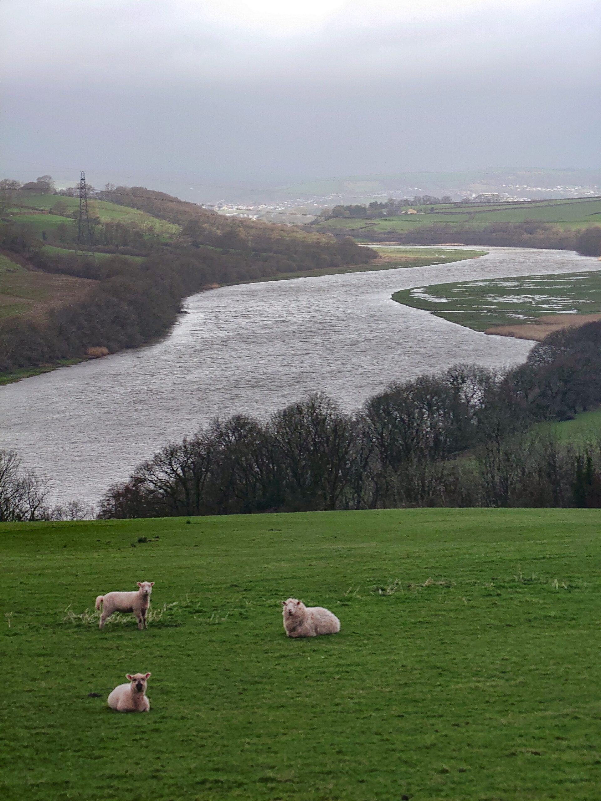
This bit of the path is nowhere near the sea; it’s over hills that give panoramic views over the Towy River and Llansteffan Castle on the opposite side of the river.
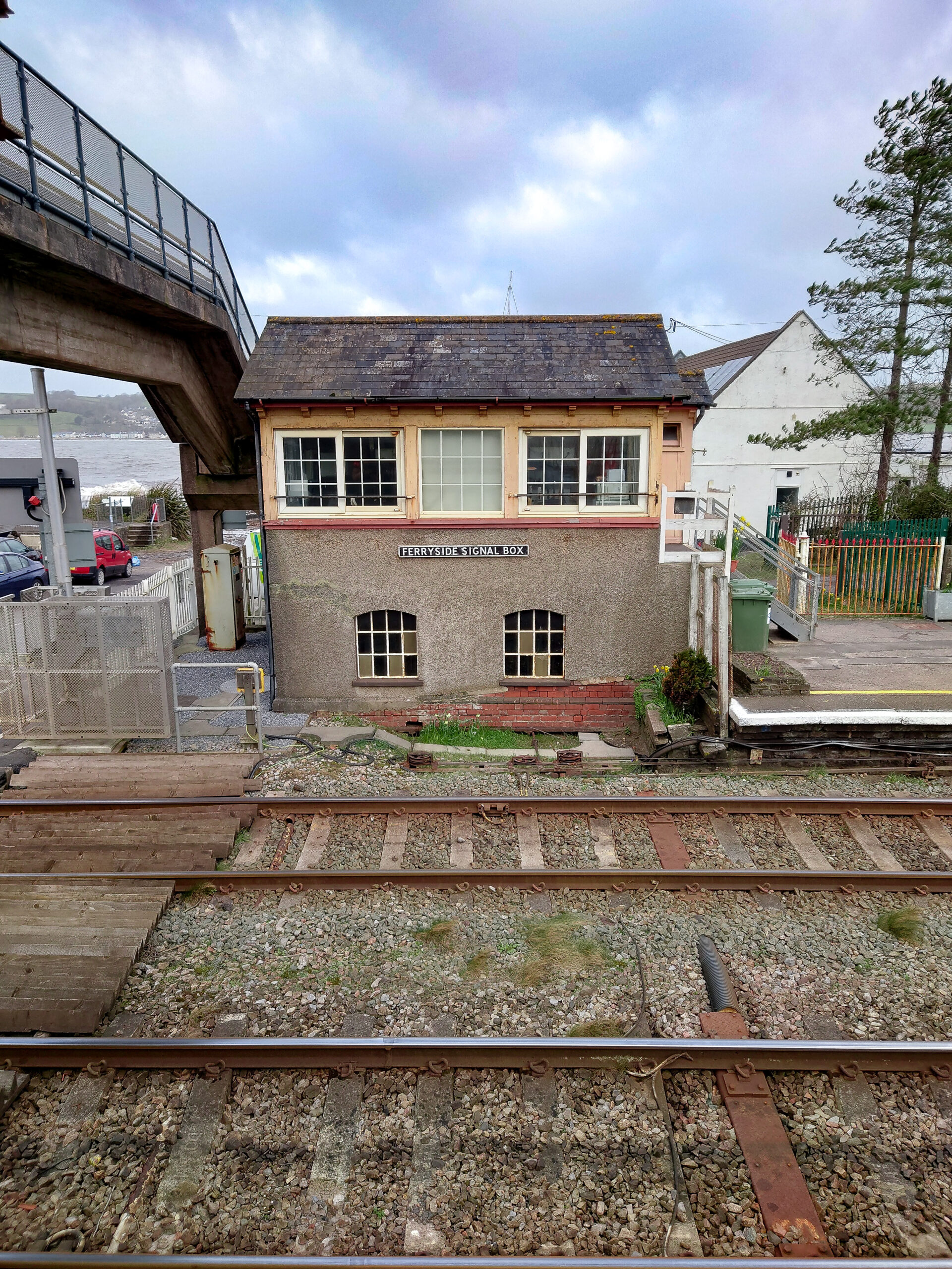
My next stop is Ferryside. I’m surprised at the grandness of the houses here. On my other visits to Ferryside, I’ve just seen the main road through and didn’t realize how much of it there is behind. There’s a ferry that crosses to Llansteffan that operates on weekends and school holidays. As this is neither, I have to walk around and visit the oldest town in Wales on the way.
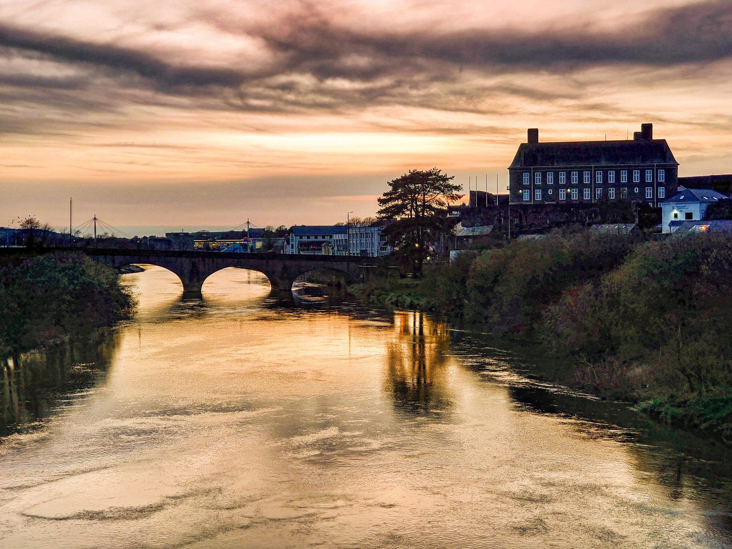
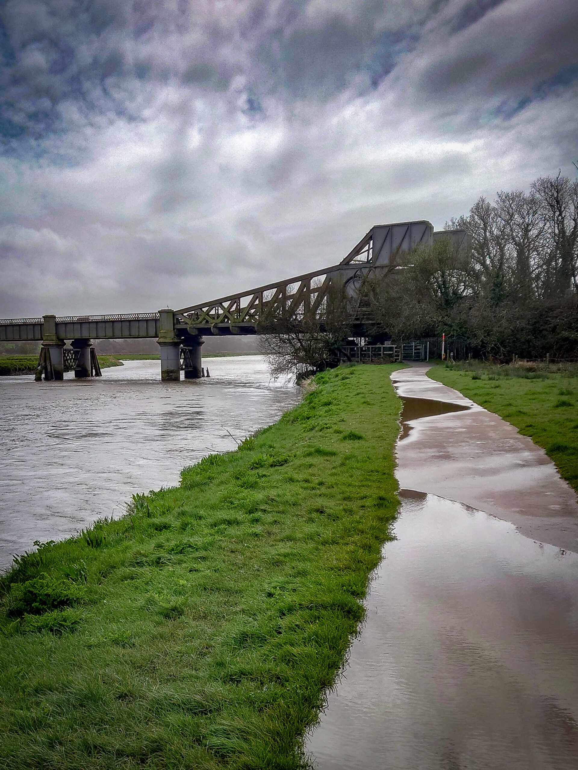
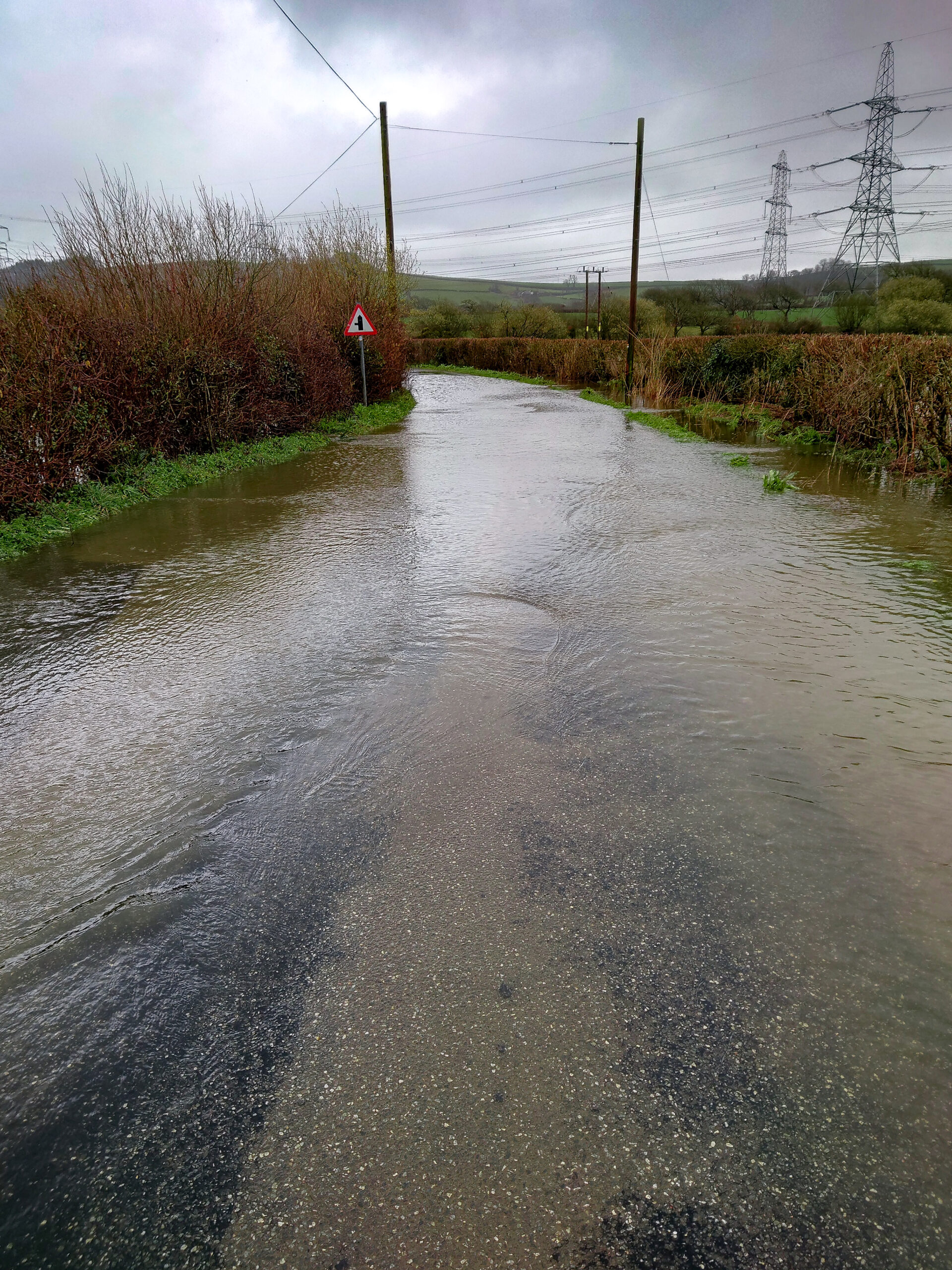
Carmarthen with the River Towy sweeping around its core. The day I visited was the highest tides of the year, and it was raining. I crossed the footbridge that links the train station to the town and walked back down by the side of the river. The footpath is flooded and I wade through water up to my ankles. I hope it doesn’t get any deeper. A little downstream is the railway bridge. I’ve seen it many times before but never realized it’s a drawbridge fit for taller boats to come up river. Now their way is blocked by the road bridge, and the river is all silted up so it never gets used.
The path wanders about and somehow ends up on the main road to Llansteffan. This is a busy road with no pavement. I walk a few miles carefully watching for traffic and ready to jump out of the way of any vehicle that doesn’t expect to see some grumpy bloke walking this road in this terrible weather. Eventually, the path takes a turn into a field and I’m relieved to be in Green Castle Woods. It’s an ancient woodland that most people haven’t heard of but a very welcome if not soggy sight as it gets me off the road. That’s it for the day.
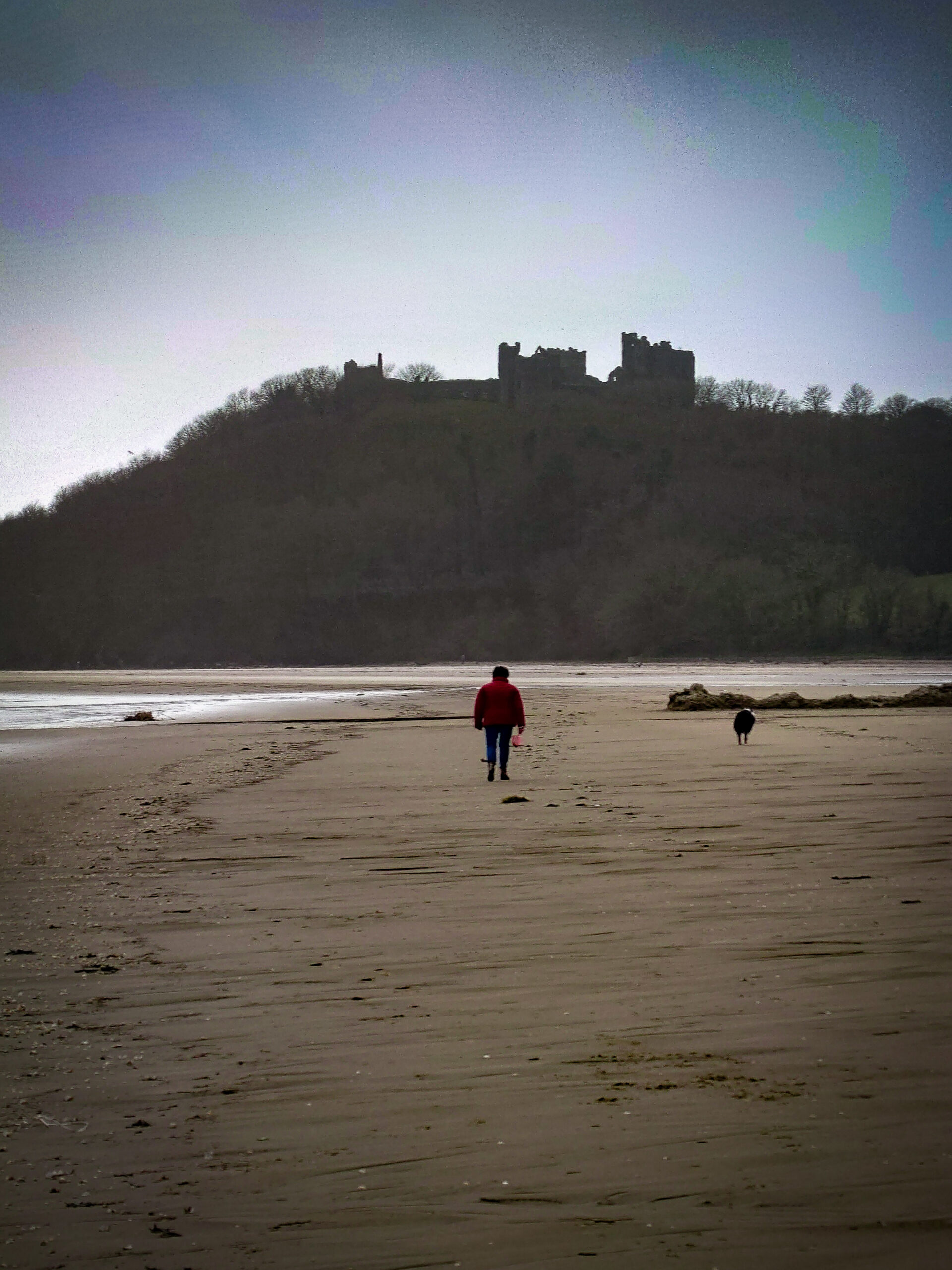
There are some days that I know where I’m going; this wasn’t one of them. As soon as I left the car park, I crossed the road and immediately turned the wrong way, back into Carmarthen. It wasn’t long before I realized I was going the wrong direction and I’d been there before. About-face, march! Still in Green Castle Woods, a few paths meander about until they finally get to a gate. Through the gate is a wet field and through the field is a farm and a farm track. Farm tracks are great; an easy walk that I can cover ground quickly and no traffic. The farm track joins a road, then a busier road, into a field over a hill and onto what feels like a drover’s path. This now heavily saturated walkway must have linked Llansteffan to Carmarthen, and before I know it, I’m standing on Llansteffan Sands looking across to Ferryside.
The path skips past Llansteffan Castle and takes me to an area known locally as ‘The Benches.’ This area was a place that would attract a lot of people from the area, and ferries would bring others from Ferryside across to a singing festival here. There would be a ceremony to crown a mock mayor. The path plods past the castle, past one of the prettiest houses I’ve seen at St. Anthony’s Well and through an area called Lord’s Park. Around the headland, walking mainly on quiet roads, the miles melt away easily. The day is going well, and the sun tries to make an appearance; then it happens. Walking through a farmyard, three dogs run out. The old Jack Russell jumps up and bites me just above the leg. There is no sign of the farmer, and the dog keeps his distance after, so onward I go. From that moment, the path changed from a colorful cartoon-like place to a black-and-white horror movie. It started to rain, and I’m walking on a marsh that had washed debris of reeds to create a slightly drier, less likely to sink area to walk over. Luckily it doesn’t last too long; there’s a combination of roads and fields between here and my endpoint for the day at St. Clears. However, some of the roads I have to walk are a few inches deep in floodwater, and when I see a sign that points into a lake stating that’s the way the Coast Path goes, I take a detour and stick to the roads.
I’m not sure what I missed by walking around the flooded area. There was a castle marked on the map, but talking to a local, there’s not too much of it left. For a change, I’m walking on a Sunday; the only sound is the church bells ringing from St. Mary Magdalene of St. Clears. I feel relaxed today as the weather forecast is clear and sunny for the first time in ages. Looking at the map, it looks like a lot of my day will be spent on busy roads with no pavement, but there are paths just off the road, the other side of the hedgerow. Field, woodland, road, field, woodland…… Follow the path, follow the river, another castle! This is the hometown of Dylan Thomas Laugharne. The castle dominates the area, and there’s a calm that I feel is unique to this place; it’s a different sort of quiet. The path follows Dylan’s Birthday Walk around the headland and onto the Pendine stretch. I had hoped to walk the whole length of Pendine; I was told there was a way so took my directions, walked this way and that and I got to a gate saying it was an MOD site, not to enter and there are explosives around. That was enough for me; back to the relative safety of the path. I followed it to Pendine.
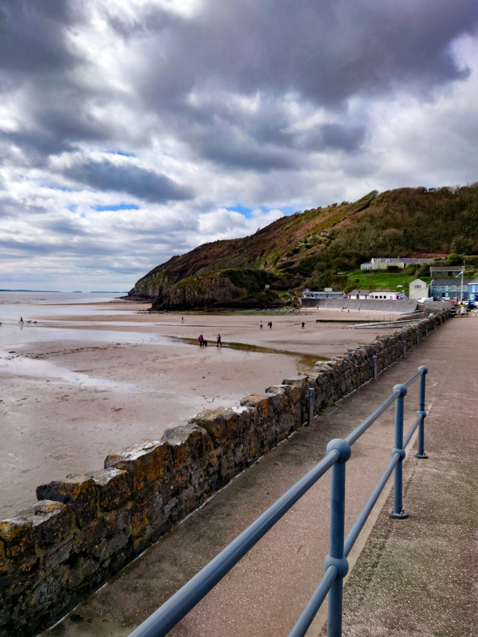
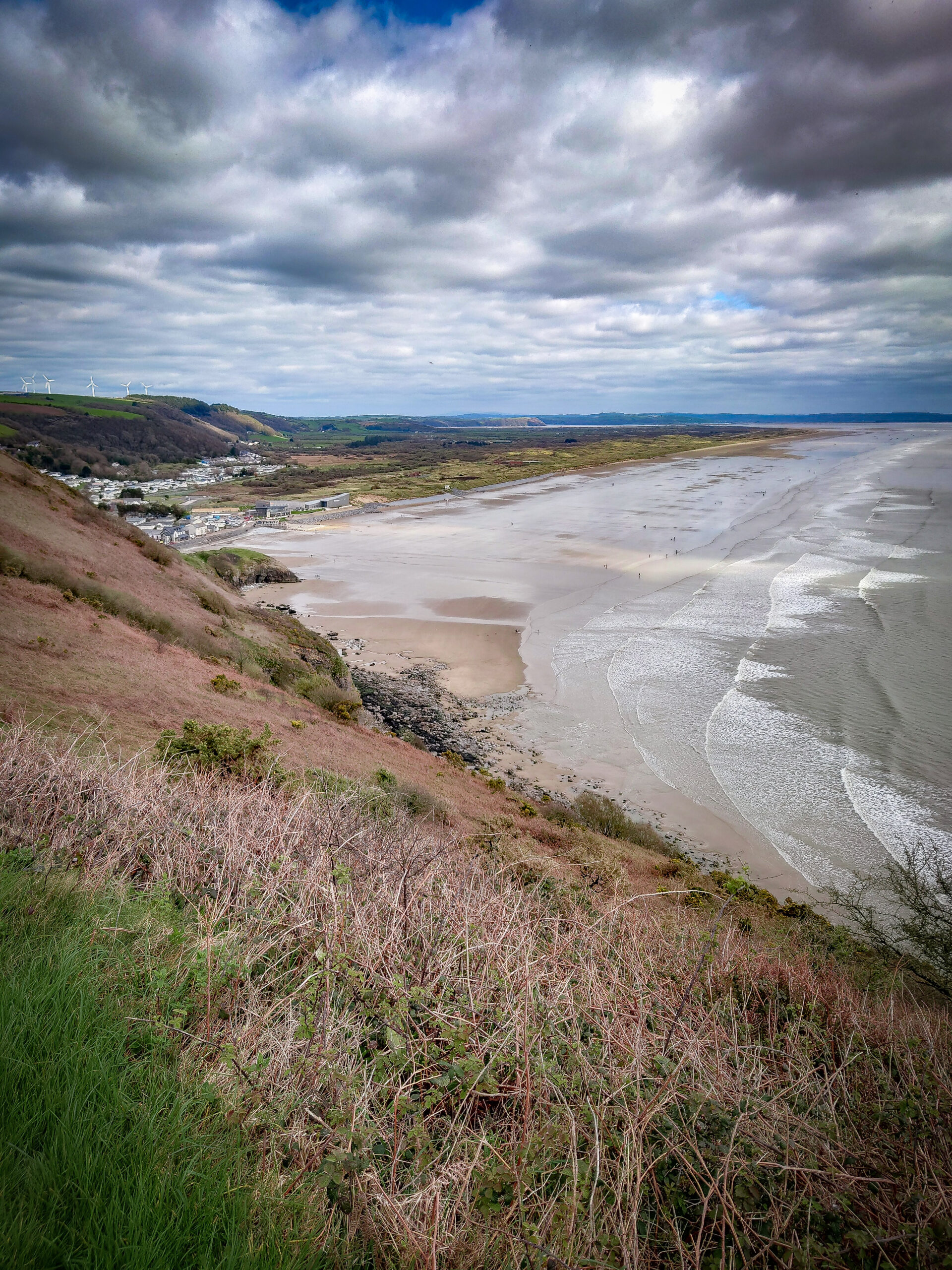
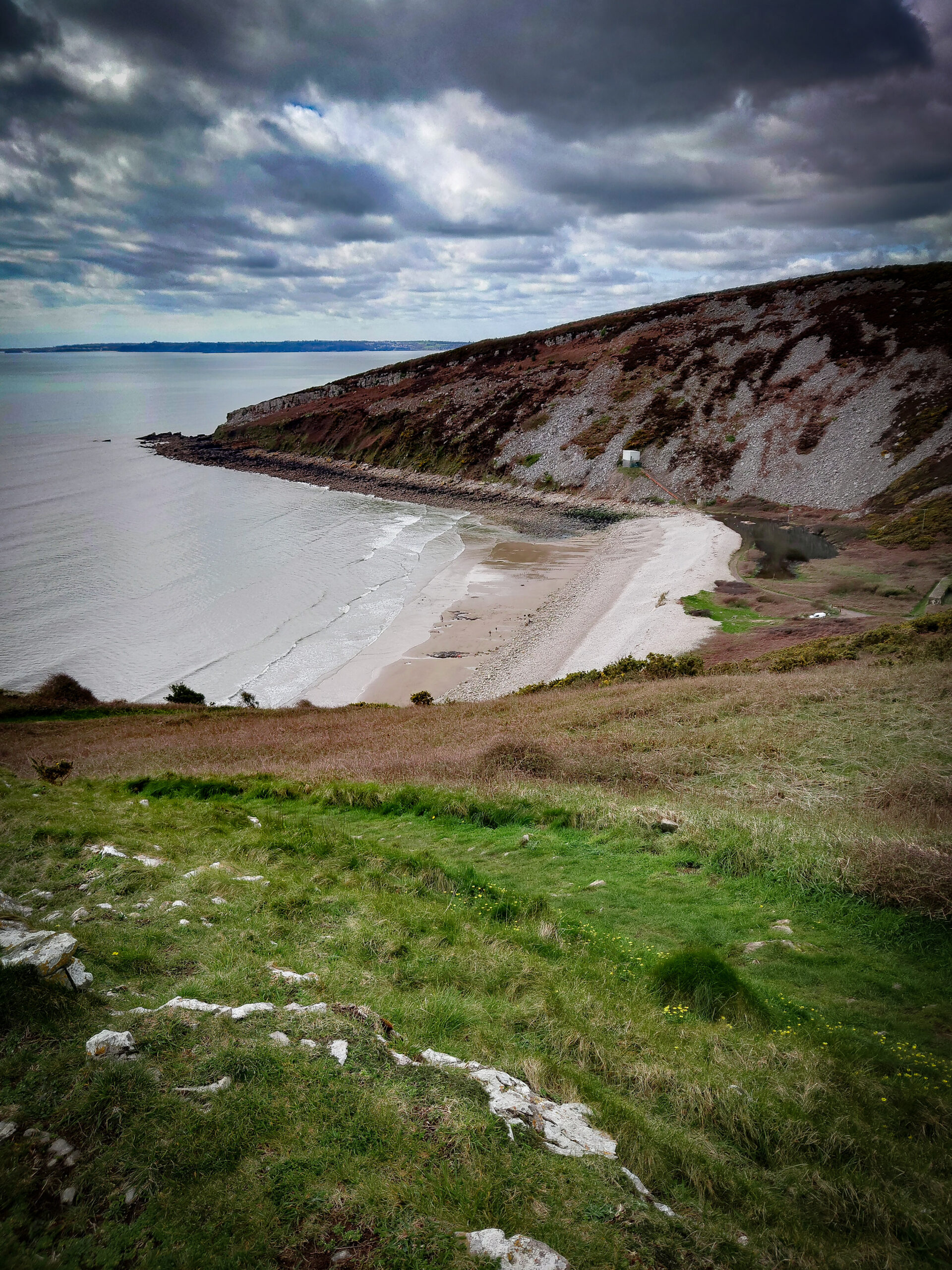
Where did all the people come from? A sunny spring Sunday afternoon, and the world has decided Pendine is the place to be. Having not seen a soul since Laugharne, now there are people everywhere. I fight my way through the crowds, ignore the ice cream queue and head out, up and over Gilman Point. I think this is the steepest climb I’ve done since starting this walk and I fake taking a photo just to get my breath back. It’s not long before the path brings me down to almost sea level again, then back up, up and down, up and down; this is how it goes for a while. I get to Marros Sands, a little-known beach between Pendine and Amroth. It could easily compete with its two larger siblings, but parking is not available. It’s over a mile of lovely-looking beach and only has a few people on it; my sort of beach.
A slight detour here: The cliff has eroded and taken the path with it, so the last length into Amroth is via the road. I’m not finished for the day yet, but I’m going to leave you at this point.
Amroth marks the start of the Pembrokeshire Coast Path, and that is another story.
~ ~ ~ ~