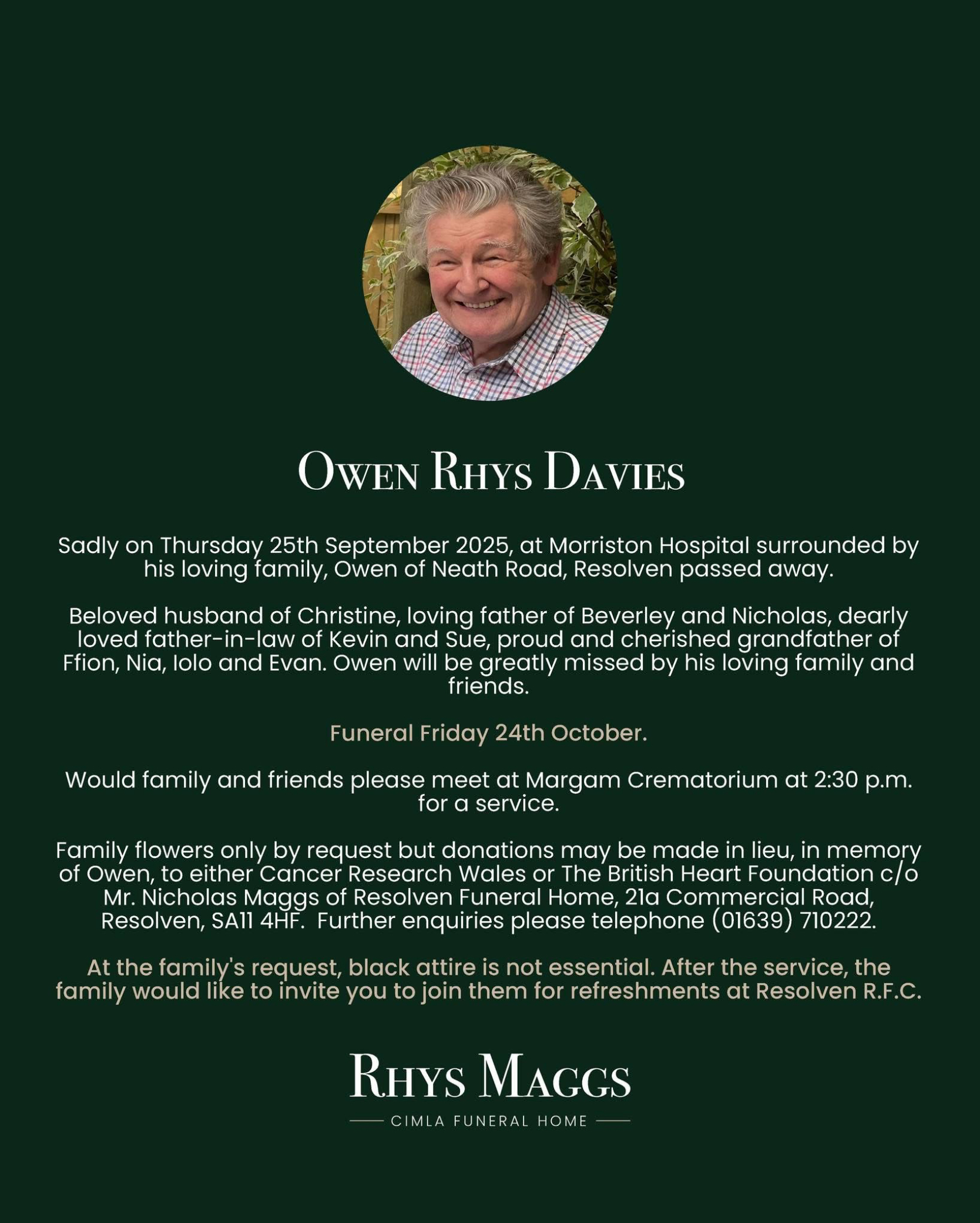
Many congratulations to Brenda and Terry Rees on their 70th Wedding Anniversary. This marks an extremely rare and precious milestone – seven decades of love devotion and shared memories.
Brenda and Terry Rees were married on November 5, 1955 at Sardis Church, Resolven followed by a Reception at St John’s Ambulance Hall.
Brenda and Terry leaving for London on honeymoon.
This is a very special occasion as only 30 couples a year in the UK achieve this honour with a special message from the King and Queen.
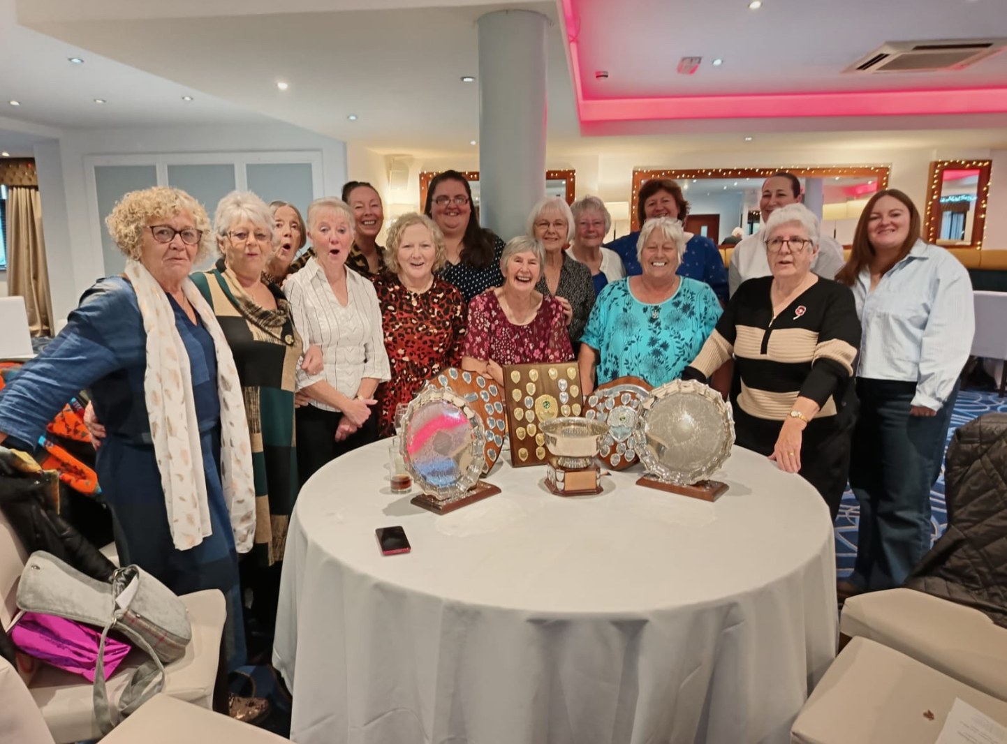
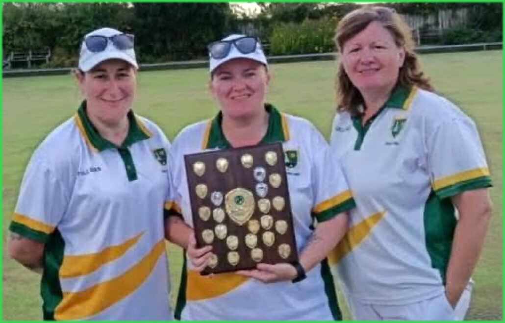
Congratulations to Resolven Ladies Bowls Club on their achievements in the Summer of 2025.
The above photograph shows the Members celebrating at the 2025 West Glamorgan Annual General Meeting after the presentations. Resolven Ladies won the Monday evening League which consists of 2 rinks of 4 bowlers (playing 2 bowls each) on each rink against 8 opposition Clubs, weekly over the Summer season.
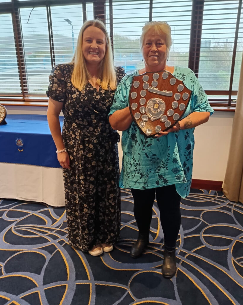
RLBC 2025 Captain Christine Gregg being presented with the Monday Evening League Trophy.
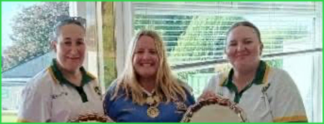
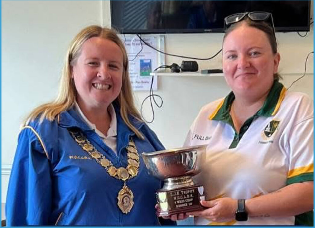
In their first year as members of Resolven Ladies Bowls Club Emma Bennett and Sarah Beynon were successful in becoming West Glamorgan Pairs Champions.
Emma and Sarah with the 2025 West Glamorgan County Bowling Association President, Bethan Russ immediately after winning the Tournament
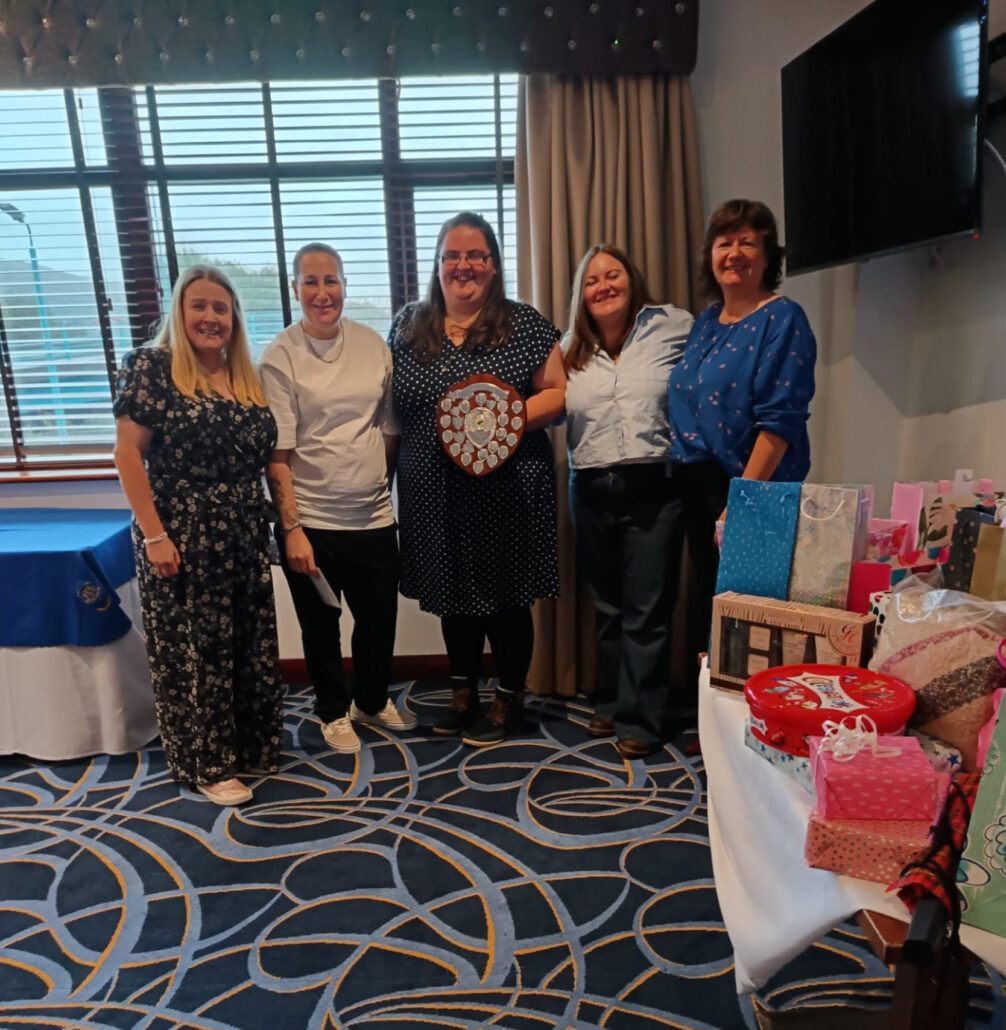
Finalists of the 2025 West Glamorgan County Fours – Emma Bennett, Natasha Williams, Sarah Beynon and Ceri Holmes.
Finalist of the County Singles, Sarah Beynon with Bethan Russ
Finalists in the 2025 County Triples – Emma, Sarah and Ceri
RDN wish Resolven Ladies Bowls Club another successful season in 2026 when they will be celebrating their 40th Anniversary.
https://resolvendistrictnews.co.uk/wp-content/uploads/2017/10/logo-1-300x41.png00HL & LLhttps://resolvendistrictnews.co.uk/wp-content/uploads/2017/10/logo-1-300x41.pngHL & LL2025-10-22 18:52:592025-10-22 18:53:00Employment and Skills Fund
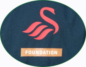
The Referees for the Tournament were supplied by the ‘SWANSEA CITY AFC FOUNDATION’ which is a charitable arm of the Swans that strives to inspire and engage people from all backgrounds from across South West Wales. The Foundation has been working at the heart of the community for the last 15 years.
~ ~
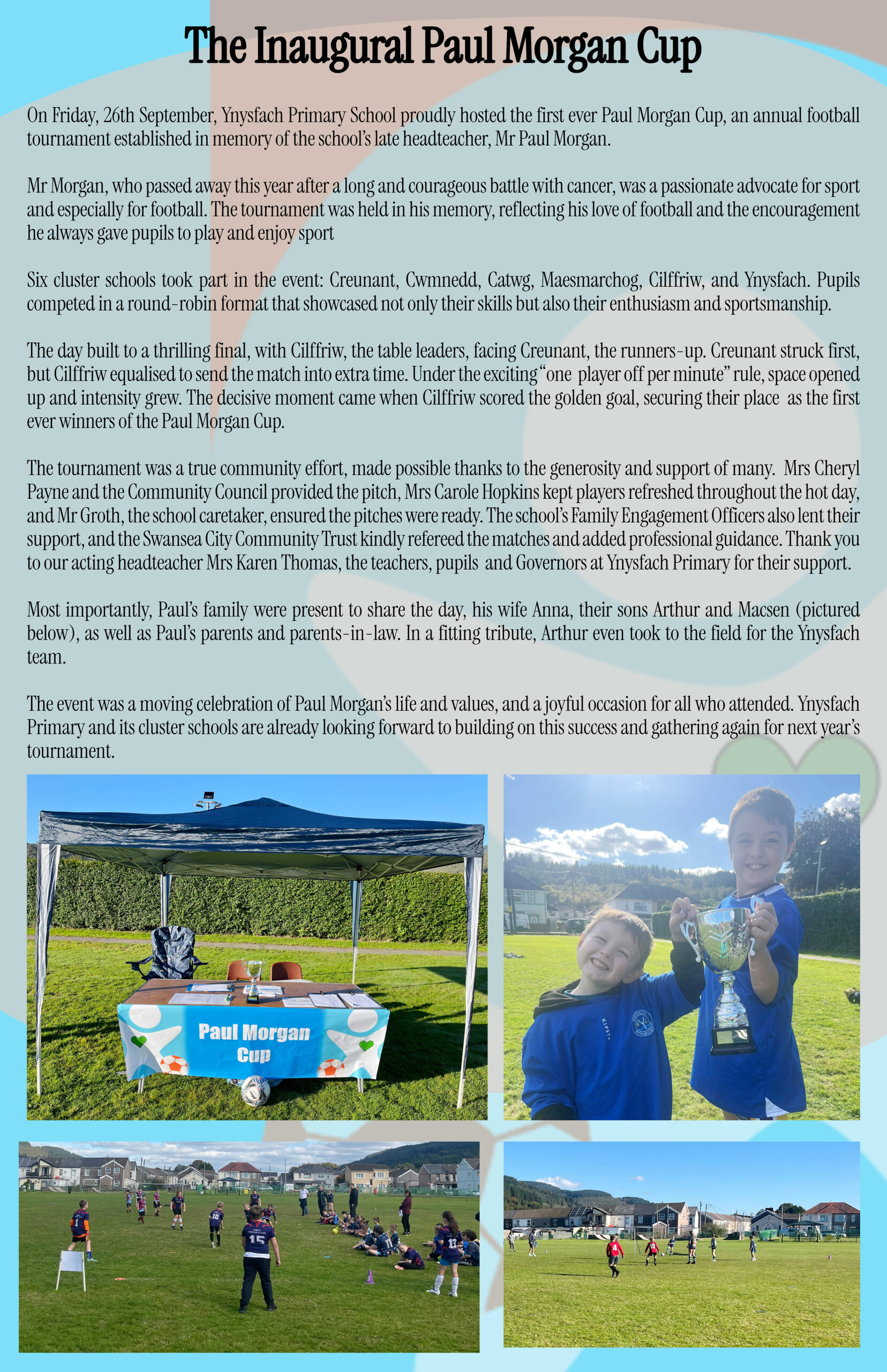
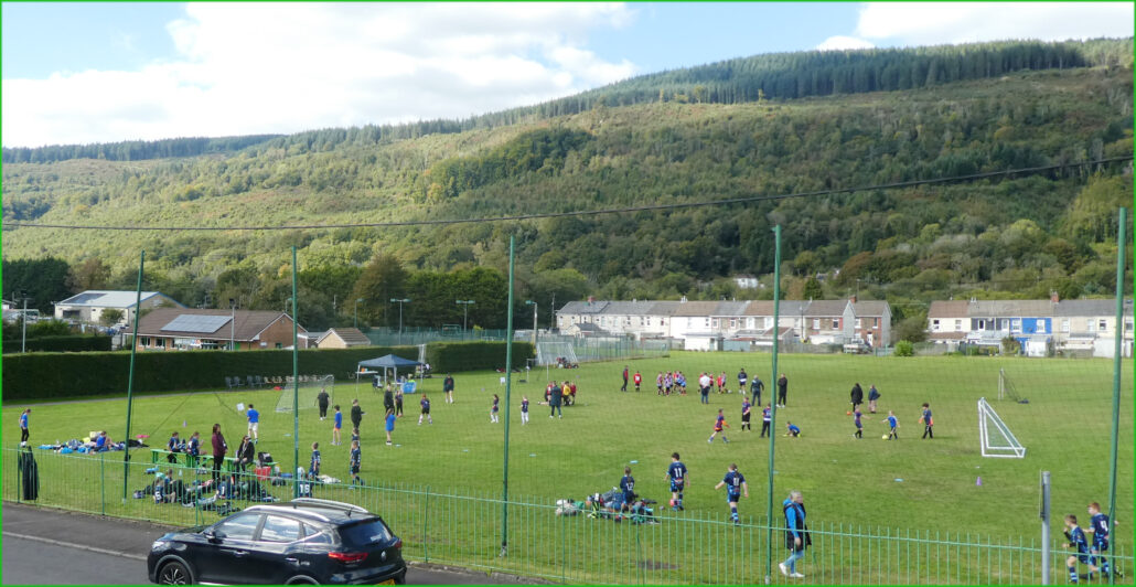
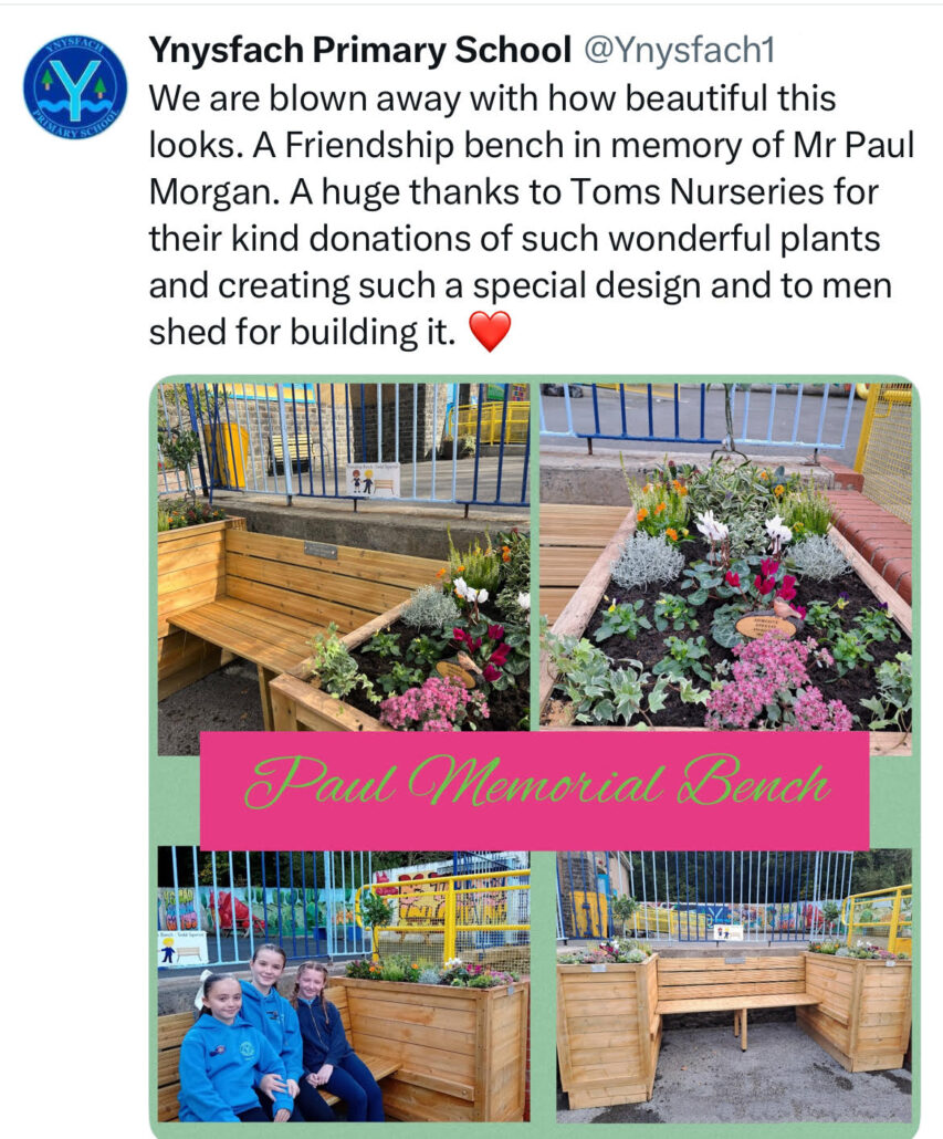
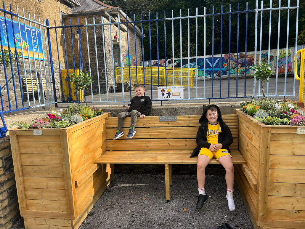
We previously reported that the ‘Men’s Shed’ members had provided a bench in memory of Mr Paul Morgan, so the following photographs were taken at Ynysfach Primary School the same day as the above football tournament.
~ ~
Photographs provided by Lucy LeMesurier and Hugh Lewis
https://resolvendistrictnews.co.uk/wp-content/uploads/2017/10/logo-1-300x41.png00HL & LLhttps://resolvendistrictnews.co.uk/wp-content/uploads/2017/10/logo-1-300x41.pngHL & LL2025-10-05 10:13:542025-10-05 10:17:06Events to Remember Mr Paul Morgan
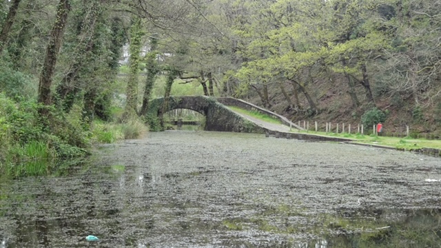
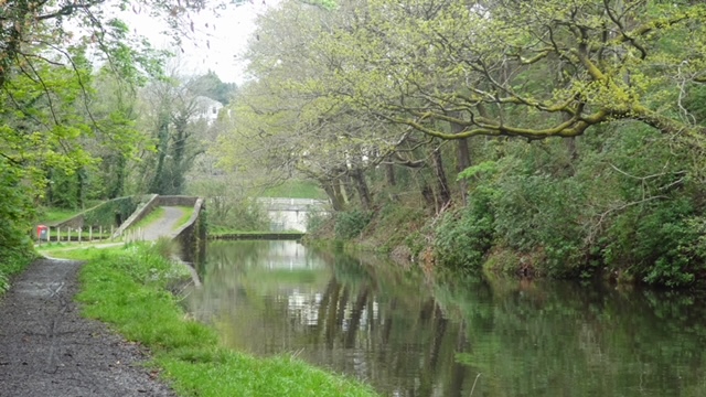
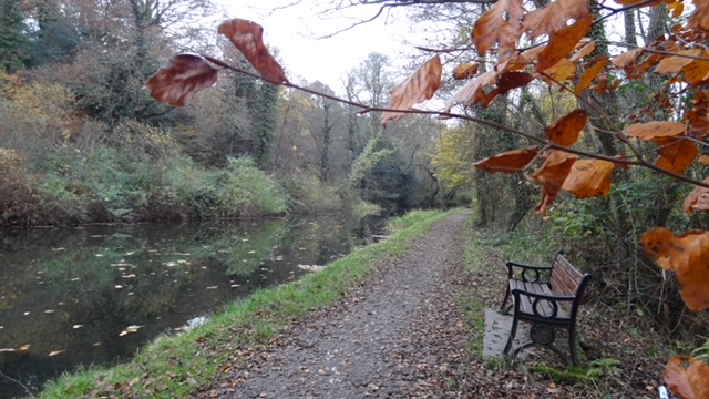
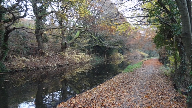
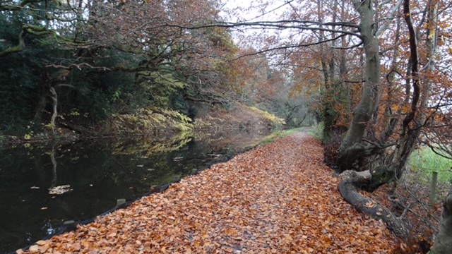
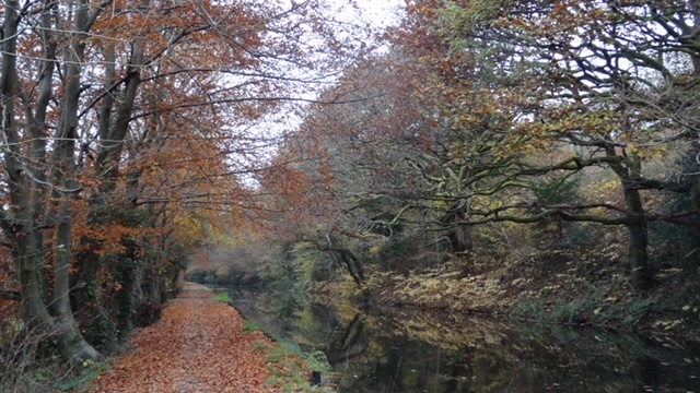
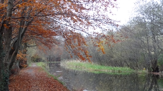
The following photographs of the Vale of Neath Canal have been sent to RDN by Ruth Davies, Daughter of the late Mike Davies who contributed immensely to this website over many years.
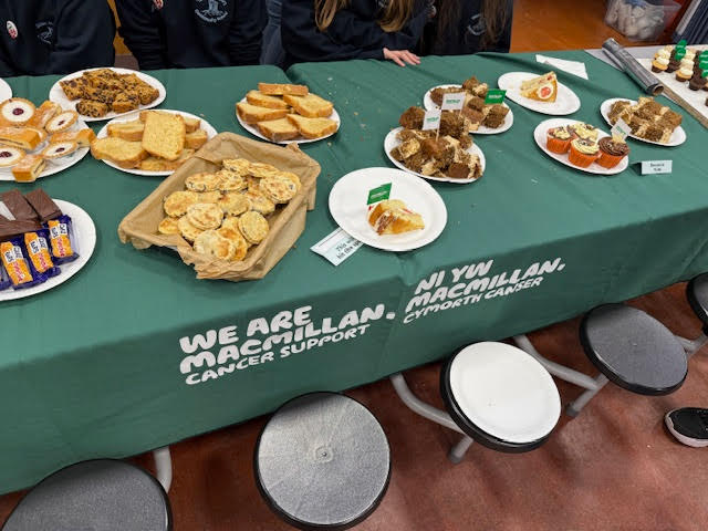
Friday, 26 September Tonna Primary School held a fundraising event for cancer support. Visitors enjoyed a variety of cakes and Welsh cakes, including walnut and lemon cakes, with contributions helping this important cause.
.
.
~ ~
Also on Sunday, 28th September, from 10am to 12pm, everyone is invited to help the School Grounds Working Party make Tonna Primary school grounds more welcoming for the children. Please bring any gardening tools you have. Your support is greatly appreciated!
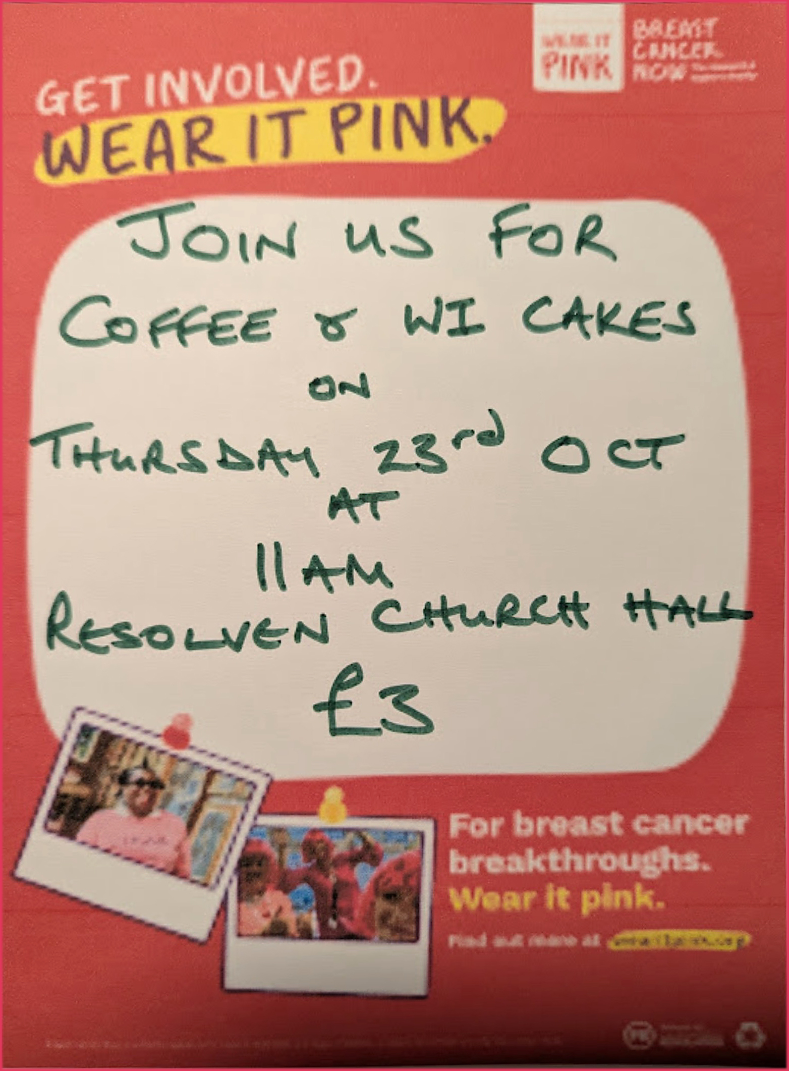
https://resolvendistrictnews.co.uk/wp-content/uploads/2017/10/logo-1-300x41.png00HL & LLhttps://resolvendistrictnews.co.uk/wp-content/uploads/2017/10/logo-1-300x41.pngHL & LL2025-09-27 10:32:552025-09-27 10:40:00MACMILLAN Fundraising Further Down The Valley
In April 2025, Mr Paul Morgan, Headteacher at Ynysfach Primary School, sadly passed away having lost his brave and courageous battle against cancer.
As many of you may know, Mr Morgan had workedg at Ynysfach for twelve years, first as Deputy Head and then as Headteacher from 2018. During this time, he taught, nurtured and supported pupils from Resolven and Clun, built a fantastic, hardworking, dedicated family of staff and governors and created close bonds with the community. As well as being a strong leader, staff always appreciated Mr Morgan’s friendship, kindness and wicked sense of humour and will continue to maintain his positivity, passion and pride for the work that he did.
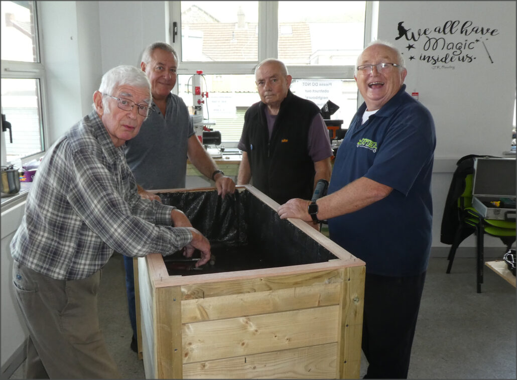
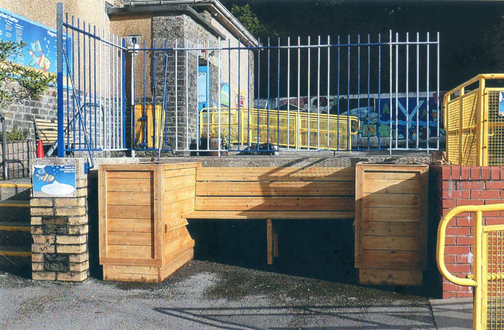
In memory of Mr Morgan, staff at Ynysfach approached Resolven Men’s Shed to ask if they could build a memorial bench for Mr Morgan which would include planters that pupils could plant with colourful flowers.
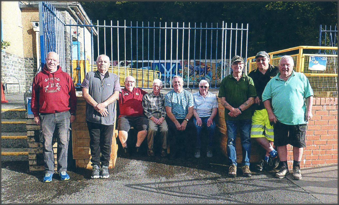
Four of the nine ‘Man Shed’ Members working on the Memorial Bench
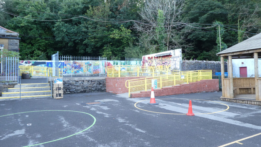
Before installation of the bench
The photograph shows all the ‘Man Shed’ members: Dewi Williams, Alun Williams, Lyn Davies, Ryan Davies, Keith Evans, Dave Pink, Richard Williams, Paul Roberts, Michael Robert Coulter, Jeff Pritchard and Paul Minton
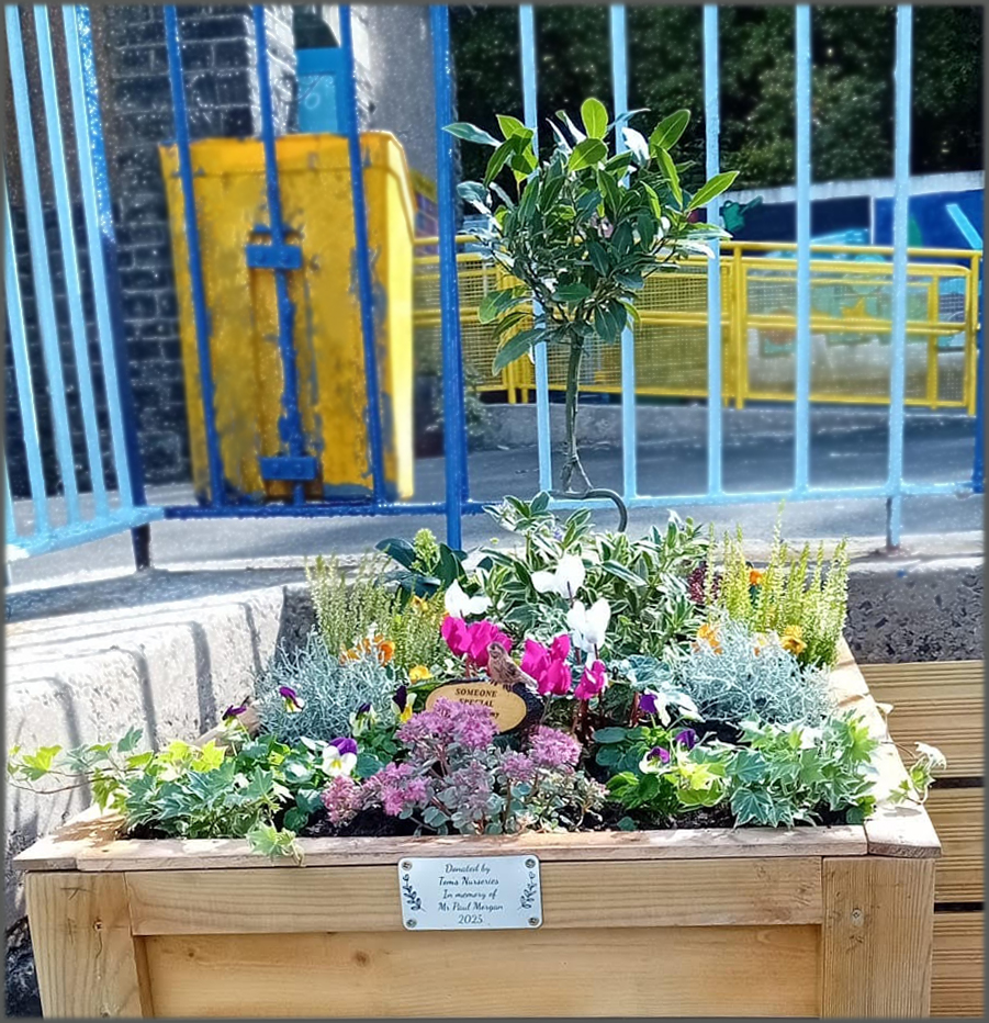
The bench has now been built at the top of the yard, and a memorial plaque is due to be added. Blaengwrach Primary School have very kindly given Ynysfach a beautiful olive tree to plant in memory of Mr Morgan, plus shrubs have been kindly donated by Tom’s Nurseries and Garden Centre in Cadoxton.
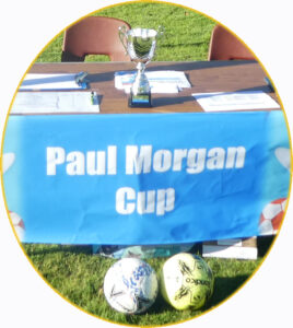
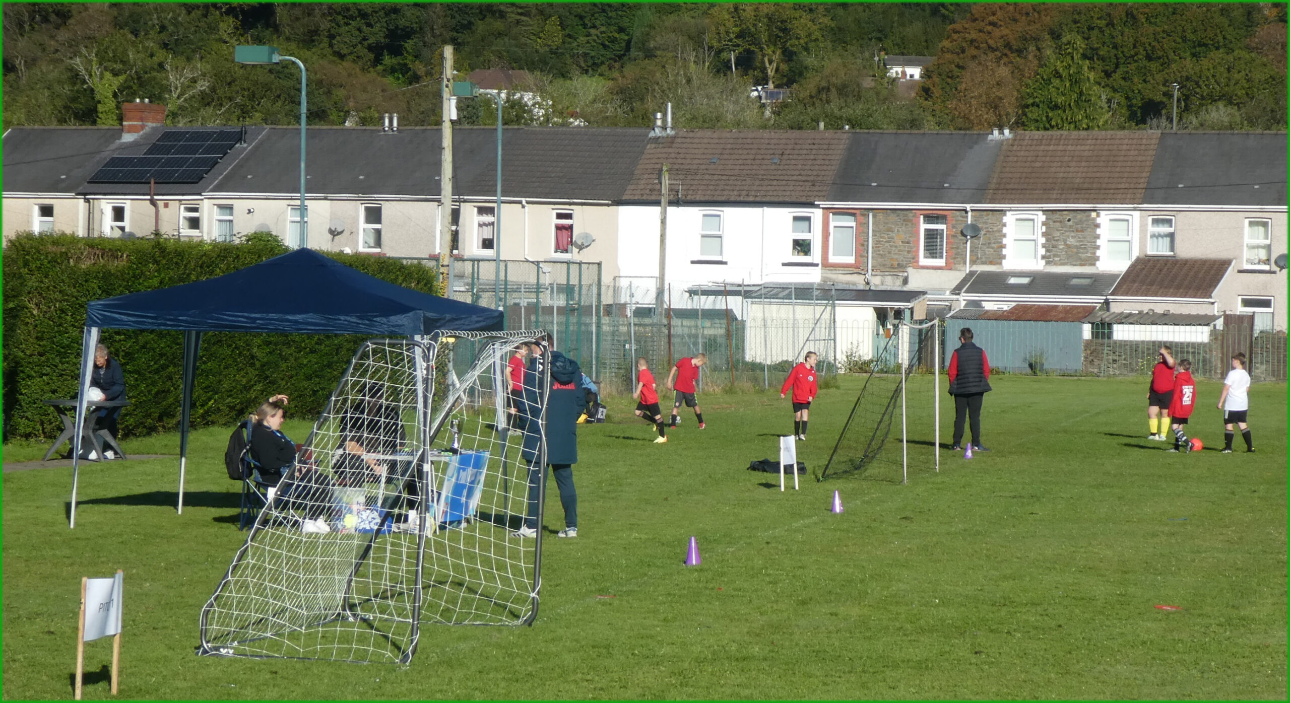
In addition, to remember their football loving headteacher, Ynysfach Primary will be hosting an annual ‘Paul Morgan Football tournament’ for their cluster family of schools. The first of these is due to take place on Friday September 26th.
This is the same day as a
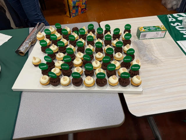
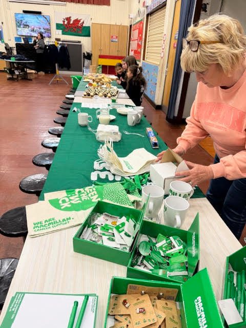
MACMILLANCancer Support Coffee Morning held at Ynysfach Primary School Hall between 9.30 – 10.30am
where tea, coffee and cakes will be available. Ynysfach hope to welcome as many people to this coffee morning as possible – parents, friends and members of the community – so that they can raise as much money as they can in memory of Mr Morgan.
~ ~
Thanks to Mrs Groth for some of the above information.